Chandler Heights, Arizona
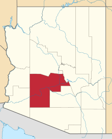
Chandler Heights is an unincorporated community in Maricopa and Pinal counties, Arizona, United States. Chandler Heights is 11 miles (18 km) southeast of Chandler. Formerly, Chandler Heights had a ZIP code of 85227, but it has since been abolished, and the United States Postal Service now uses "Queen Creek" for all Chandler Heights addresses.
Much of Chandler Heights is located within the planning boundaries of the town of Queen Creek for future annexation, with a small portion (west of Recker Road) extending into the planning boundaries of the town of Gilbert.
References


