Chain O'Lakes State Park (Illinois)
For the similarly named state park in Indiana, see Chain O'Lakes State Park (Indiana).
| Chain O'Lakes State Park | |
|---|---|
|
IUCN category III (natural monument or feature) | |
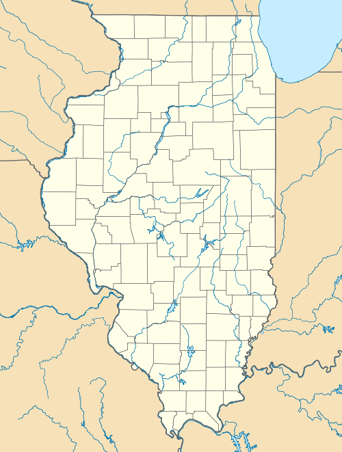 Map of the U.S. state of Illinois showing the location of Chain O'Lakes State Park | |
| Location | Lake and McHenry counties, Illinois, USA |
| Nearest city | Spring Grove, Illinois |
| Coordinates | 42°27′32″N 88°10′27″W / 42.45889°N 88.17417°WCoordinates: 42°27′32″N 88°10′27″W / 42.45889°N 88.17417°W |
| Area | 2,793 acres (1,130 ha) |
| Established | 1945 |
| Governing body | Illinois Department of Natural Resources |
_(4160749653).jpg)
Juvenile Red-tailed Hawk at Chain O'Lakes State Park (Illinois)
Chain O'Lakes State Park is a 2,793-acre (1,130 ha) Illinois state park at the inlet of the Fox River into the Chain O'Lakes in Lake and McHenry counties, in the suburban wildlife of Chicago, Illinois, USA.
It is one of the centerpieces of the proposed Hackmatack National Wildlife Refuge.
External links
- Chain O'Lakes State Park website
- USGS. "Chain O'Lakes State Park, USGS Fox Lake (IL,WI) Quad". TopoQuest. Retrieved 2008-07-05.