Chadenac
| Chadenac | |
|---|---|
|
| |
 Chadenac | |
|
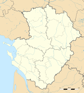
Location within Poitou-Charentes region  Chadenac | |
| Coordinates: 45°32′32″N 0°26′27″W / 45.5422°N 0.4408°WCoordinates: 45°32′32″N 0°26′27″W / 45.5422°N 0.4408°W | |
| Country | France |
| Region | Poitou-Charentes |
| Department | Charente-Maritime |
| Arrondissement | Saintes |
| Canton | Pons |
| Intercommunality | Haute-Saintonge |
| Government | |
| • Mayor (2008–2014) | Gérard Guibert |
| Area1 | 14.11 km2 (5.45 sq mi) |
| Population (2008)2 | 401 |
| • Density | 28/km2 (74/sq mi) |
| INSEE/Postal code | 17078 / 17800 |
| Elevation | 32–112 m (105–367 ft) |
|
1 French Land Register data, which excludes lakes, ponds, glaciers > 1 km² (0.386 sq mi or 247 acres) and river estuaries. 2 Population without double counting: residents of multiple communes (e.g., students and military personnel) only counted once. | |
Chadenac is a commune in the Charente-Maritime department in southwestern France. Chadenac has a notable romanesque church and a small Merovingian museum. It lies 8 km from Jonzac and 9 km from Pons off the D142 road, close to the Way of St. James.
Population
| Historical population | ||
|---|---|---|
| Year | Pop. | ±% |
| 1793 | 721 | — |
| 1800 | 748 | +3.7% |
| 1806 | 678 | −9.4% |
| 1821 | 875 | +29.1% |
| 1831 | 860 | −1.7% |
| 1836 | 807 | −6.2% |
| 1841 | 796 | −1.4% |
| 1846 | 827 | +3.9% |
| 1851 | 793 | −4.1% |
| 1856 | 801 | +1.0% |
| 1861 | 826 | +3.1% |
| 1866 | 814 | −1.5% |
| 1872 | 797 | −2.1% |
| 1876 | 740 | −7.2% |
| 1881 | 687 | −7.2% |
| 1886 | 655 | −4.7% |
| 1891 | 661 | +0.9% |
| 1896 | 640 | −3.2% |
| 1901 | 626 | −2.2% |
| 1906 | 644 | +2.9% |
| 1911 | 670 | +4.0% |
| 1921 | 592 | −11.6% |
| 1926 | 551 | −6.9% |
| 1931 | 556 | +0.9% |
| 1936 | 544 | −2.2% |
| 1946 | 512 | −5.9% |
| 1954 | 516 | +0.8% |
| 1962 | 601 | +16.5% |
| 1968 | 531 | −11.6% |
| 1975 | 473 | −10.9% |
| 1982 | 429 | −9.3% |
| 1990 | 424 | −1.2% |
| 1999 | 425 | +0.2% |
| 2008 | 401 | −5.6% |
Inhabitants are known as Chadenacais.
See also
References
External links
| Wikimedia Commons has media related to Chadenac. |
- Eglise Saint-Martin de Chadenac
- Romanesque Church in Chadenac
- Directory of Mayors' Statistics - Chadenac