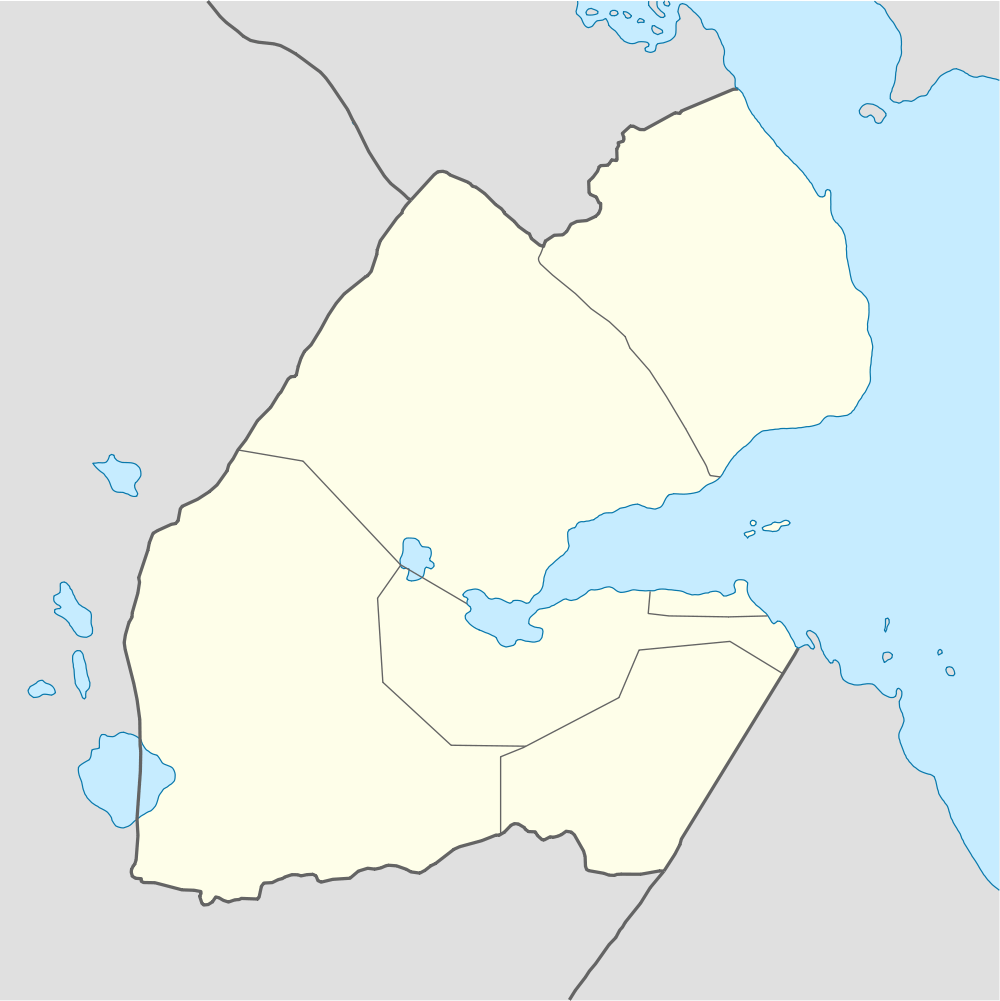
Chabelley Airport
| Chabelley Airport | |||||||||||
|---|---|---|---|---|---|---|---|---|---|---|---|
 CBA | |||||||||||
| Summary | |||||||||||
| Airport type | Military | ||||||||||
| Location | Chabelley, Djibouti | ||||||||||
| Elevation AMSL | ft / 106 m | ||||||||||
| Coordinates | 11°31′N 43°04′E / 11.517°N 43.067°ECoordinates: 11°31′N 43°04′E / 11.517°N 43.067°E | ||||||||||
| Runways | |||||||||||
| |||||||||||
Chabelley Airport (IATA: CBA, ICAO: HDCH), also known as the Chabelley Airfield, is an isolated airstrip in Chabelley, located some 6 miles to the southwest of Djibouti City, the capital of Djibouti.[1]
Military
In September 2013, it began serving as a temporary base for U.S. military unmanned aircraft.[2][3] The move came after the Djiboutian government expressed concern over a number of recent drone mishaps and accidents at the American Camp Lemonnier Naval Expeditionary Base, which serves as a hub for counterterrorism operations in Yemen and Somalia. The Djiboutian authorities consequently asked U.S. officials to relocate the drones to the rarely used Chabelley Airfield.[2] Hitherto, the Chabelley airstrip had been exclusively reserved in case of need for French military devices.[3]
References
- ↑ Airport information for HDCH at Great Circle Mapper.
- ↑ 2.0 2.1 Craig Whitlock, Greg Miller (24 September 2013). "U.S. moves drone fleet from Camp Lemonnier to ease Djibouti's safety concerns". Washington Post. Retrieved 20 November 2013.
- ↑ 3.0 3.1 "La Corne de l’Afrique, enjeu stratégique majeur". Assajog. 17 November 2013. Retrieved 20 November 2013.