Castra of Reci
| Castra of Reci | |
|---|---|
|
Panoramic view | |
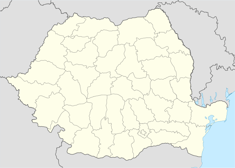 Location within Romania | |
| Known also as | Castra of Comolău |
| Founded | 2nd century AD [1] |
| Abandoned | 3rd century AD [1] |
| Place in the Roman world | |
| Province | Dacia |
| Administrative unit | Dacia Apulensis |
| Administrative unit | Dacia Superior |
| Directly connected to |
|
| Structure | |
| — Stone [1] structure — | |
| Size and area | 150 m x 130 m (0.2 [1] ha) |
| Stationed military units | |
| — Cohorts — | |
| I Hispanorum veterana [1] | |
| Location | |
| Coordinates | 45°50′39″N 25°54′01″E / 45.844173°N 25.900222°E |
| Altitude | 527 m (1,729 ft) |
| Town | Reci |
| County | Covasna |
| Country |
|
| Reference | |
| RO-LMI | CV-I-s-A-13057 [1] |
| RO-RAN | 64782.02 [1] |
| Site notes | |
| Recognition |
|
| Condition | Ruined |
| Exhibitions | National Museum of Eastern Carpathians |
|
| |

Castra of Reci was a fort in the Roman province of Dacia.
The plan of castra.