Carluddon
Coordinates: 50°22′04″N 4°47′23″W / 50.3678795°N 4.789671°W
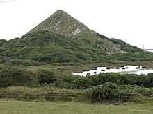
Carluddon Tip
Carluddon is a hamlet north of St Austell and southeast of Stenalees in Cornwall, England, UK.[1][2]
References
- ↑ Maps (Map). Google Maps.
- ↑ Ordnance Survey Landranger 200; Newquay, Bodmin & surrounding areas, 1:50 000. 1988