Carlit
| Carlit | |
|---|---|
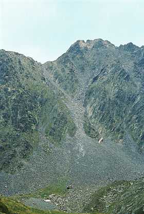 North face of Carlit, summer 2007 | |
| Elevation | 2,921 m (9,583 ft) |
| Location | |
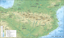 Carlit Pyrenees | |
| Location | Pyrénées-Orientales, France |
| Range | Pyrenees |
| Coordinates | 42°34′11″N 1°55′55″E / 42.56972°N 1.93194°ECoordinates: 42°34′11″N 1°55′55″E / 42.56972°N 1.93194°E |
Pic Carlit (Puig Carlit in Catalan) is a mountain of Pyrénées-Orientales, France. Located in the Pyrenees, it has an elevation of 2,921 metres above sea level.
History
Henry Russell is known to have made the first ascent of the Pic Carlit in 1864, where he was fascinated by the beautiful view of the Étang du Lanoux, the biggest lake of the Pyrénées.[1]