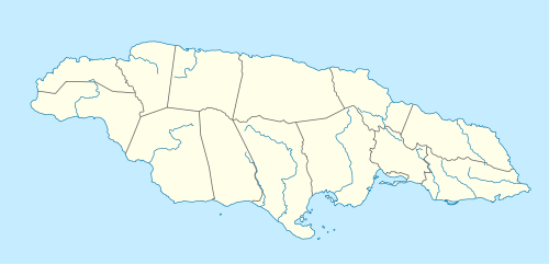
Cane River (Jamaica)
| Cane River | |
|---|---|
| Origin | 18°00′54″N 76°41′34″W / 18.015039°N 76.692746°W[1] & 18°01′17″N 76°42′21″W / 18.0213439°N 76.7057276°W[1] |
| Mouth | 17°56′37″N 76°41′50″W / 17.943574°N 76.697134°W[1] |
| Basin countries | Jamaica |
| Source elevation | 3,500 feet (1,100 m)[1] & 2,700 feet (820 m)[1] |
| Mouth elevation | Sea level[1] |

Source of Cane River
The Cane River rises at twin sources in the vicinity of Derby Peak in eastern Saint Andrew Parish, Jamaica from where it flows south to the Caribbean Sea.[1]
See also
References
- GEOnet Names Server
- Ford, Jos C. and Finlay, A.A.C. (1908).The Handbook of Jamaica. Jamaica Government Printing Office