Camlachie
| Camlachie | |
| Scottish Gaelic: Camadh Làthaich | |
 Camlachie |
|
| OS grid reference | NS616646 |
|---|---|
| Council area | Glasgow City Council |
| Lieutenancy area | Glasgow |
| Country | Scotland |
| Sovereign state | United Kingdom |
| Post town | GLASGOW |
| Postcode district | G40 |
| Dialling code | 0141 |
| Police | Scottish |
| Fire | Scottish |
| Ambulance | Scottish |
| EU Parliament | Scotland |
| UK Parliament | Glasgow Central |
| Scottish Parliament | Glasgow Shettleston |
Coordinates: 55°51′17″N 4°12′45″W / 55.8547°N 4.2125°W

Camlachie tower blocks, the Bluevale and Whitevale Towers
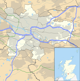
Camlachie (Gaelic: Camadh Làthaich) is an area of the city of Glasgow in Scotland. Formerly a weaving village on the Camlachie Burn, it is located in the east end of the city, between Dennistoun to the north, and Bridgeton to the south.
It gave its name to the former constituency of the United Kingdom Parliament, Glasgow Camlachie.