California State Route 71
| ||||
|---|---|---|---|---|
| Chino Valley Freeway | ||||
 | ||||
| Route information | ||||
| Defined by Streets and Highways Code § 371 | ||||
| Maintained by Caltrans | ||||
| Length: | 16 mi[1] (26 km) | |||
| Existed: | 1934 – present | |||
| Major junctions | ||||
| South end: |
| |||
|
| ||||
| North end: |
| |||
| Highway system | ||||
| ||||

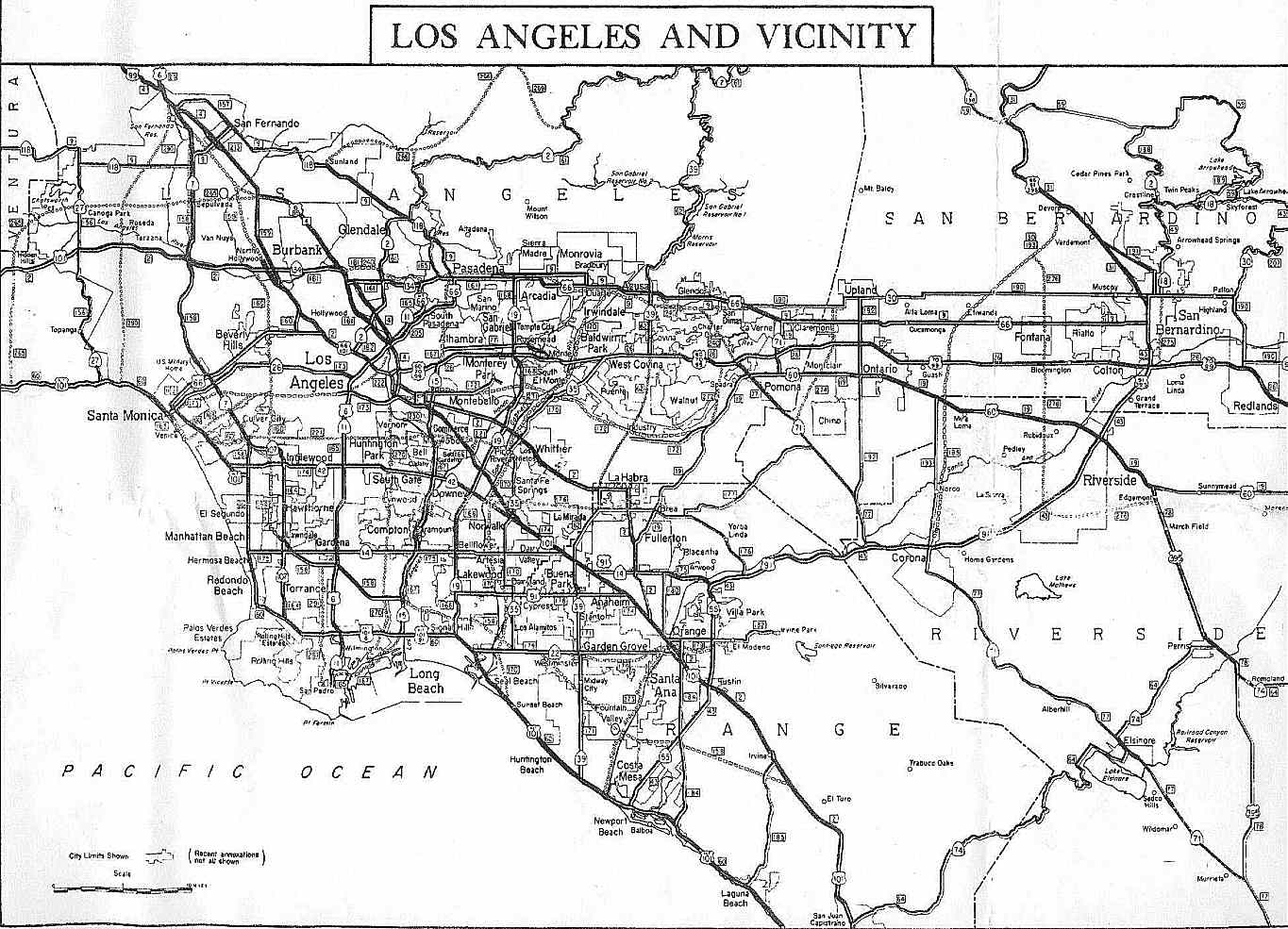
State Route 71 (SR 71) is the Chino Valley Freeway, formerly the Corona Expressway and before then the Temescal Freeway, a freeway/highway of about 15 miles (24 km) in length located entirely within Southern California, United States. Contrary to its name, this highway is a limited-access freeway in San Bernardino and Riverside counties; in Los Angeles County it is only an expressway.
Route description
This route is part of the California Freeway and Expressway System[2] and is eligible for the State Scenic Highway System.[3] However, it is not designated as a scenic highway by Caltrans.[4] Other names of this highway include the "Police Officer Daniel T. Fraembs Memorial Highway" (Route 71 in the City of Pomona),[5] and the "Mayor James Thalman and Mayor Michael Wickman Memorial Highway" (Route 71 between Soquel Canyon Parkway & Pine Avenue in Chino Hills).[6]
Beginning at its northern terminus at the Kellogg Interchange complex in San Dimas to a short distance south of Mission Boulevard in Pomona, it is a four-lane freeway. From that point and through most of Pomona, it is a four-lane expressway with at-grade intersections with other, 'regular' streets. All are signalized except for Phillips Drive. Just north of the Rio Rancho Road exit, all aspects of the highway 'upgrade' to freeway standards in its alignment, lane width, pavement, barriers, access, etc. The freeway portion of the route ends at the San Bernardino/Riverside County line, where it reverts to a divided four-lane expressway to its terminus at its junction with the Riverside Freeway (SR 91) in Corona.
The section of highway between Chino and Corona is notorious for thick winter fogs at dawn and dusk, resulting in many automobile collisions when drivers fail to slow down despite reduced visibility. Residents of Los Serranos (now Chino Hills) recall being awakened by sounds of crinkling bumpers, fenders and headlights.
As this freeway/expressway serves as an important diagonally aligned (northwest-southeast) commuter traffic corridor between the cities in the Pomona Valley (eastern Los Angeles County) and the cities of western Riverside County, it is heavily travelled and is used as an alternative to the Orange Freeway, State Route 57 (SR 57) located to the west and the Ontario Freeway, Interstate 15 (I-15) located to the east.
History
The original routing of Route 71 according to the 1934 listing was from U.S. 80, now Interstate 8, in San Diego north to U.S. Route 66, now State Route 66, near Claremont via Lake Elsinore and Temecula.[7] When the portion between San Diego and Temecula was redesignated U.S. 395, Route 71 was rerouted to run from Pomona to Aguanga. In 1973, it was cut back to its present terminus in Corona, with the portion between Corona and Temecula becoming Interstate 15 and the portion between Temecula and Aguanga becoming Route 371. The early section of the Chino Valley Freeway was built in 1971 from the Kellogg Interchange to the Pomona Freeway. The section from SR 60 to Riverside Freeway was completed in March 1998.
Future
Mission 71 Project
In September 2008, construction began on the Mission 71 Project, in which Route 71's intersection at Mission Boulevard in Pomona was reconstructed into a grade-separated, diamond-designed interchange. A bridge was constructed to allow Mission to pass over Route 71, which now has entrance and exit ramps to Mission.[8] The freeway was extended south to the current four-way intersection at Ninth Street, where it resumes expressway status to the intersection with Old Pomona Road. The construction project was completed in Fall 2011.
Major intersections
Except where prefixed with a letter, postmiles were measured on the road as it was in 1964, based on a west-to-east alignment (including its original eastern segment that extended through Temecula and Anza), and do not necessarily reflect current mileage. R reflects a realignment in the route since then, M indicates a second realignment, L refers an overlap due to a correction or change, and T indicates postmiles classified as temporary (for a full list of prefixes, see the list of postmile definitions).[9] Segments that remain unconstructed or have been relinquished to local control may be omitted. The numbers reset at county lines; the start and end postmiles in each county are given in the county column.
| County | Location | Postmile [9][10][11] | Exit [12] | Destinations | Notes |
|---|---|---|---|---|---|
| Riverside RIV R3.03-R0.00 | Corona | R3.03 | - | Interchange; southbound exit and northbound entrance; south end of SR 71 | |
| San Bernardino SBD R8.48-R0.00 | Chino Hills | South end of freeway | |||
| R7.98 | 4 | ||||
| R6.52 | 5 | Pine Avenue | |||
| R4.89 | 7 | Soquel Canyon Parkway, Central Avenue | |||
| Chino–Chino Hills line | R3.35 | 8 | |||
| R1.82 | 10 | Grand Avenue, Edison Avenue | |||
| R0.91 | 11 | Chino Avenue | Signed as exit 11A southbound | ||
| Chino Hills | R0.09 | 12A | Riverside Drive, Peyton Drive | Signed as exit 11B southbound; no southbound entrance | |
| Los Angeles LA R4.70-R0.34 | Pomona | R4.31 | 12B | Southbound exit is via exit 13 | |
| R4.31 | 12 | Northbound exit is via exit 12A | |||
| R3.61 | 13 | Rio Rancho Road | |||
| North end of freeway | |||||
| 1.92 | - | Ninth Street | Closed; former at-grade intersection | ||
| South end of freeway | |||||
| 1.62 | 14B | Mission Boulevard – Pomona, Riverside, Brea, Fullerton | Former US 60 | ||
| 1.24 | - | Pomona Boulevard | Closed | ||
| R1.48 | 14A | South end of I-10 Bus. overlap; former US 99 south | |||
| R0.34 | 15 | Northbound exit temporarily closed | |||
| San Dimas | R0.34 | - | Northbound exit and southbound entrance; north end of SR 71; former I-210 west | ||
1.000 mi = 1.609 km; 1.000 km = 0.621 mi
| |||||
References
- ↑ January 1, 2006 California Log of Bridges on State Highways
- ↑ CA Codes (shc:250-257)
- ↑ CA Codes (shc:260-284)
- ↑ "Officially Designated State Scenic Highways and Historic Parkways". California Department of Transportation. December 7, 2007. Retrieved June 22, 2011.
- ↑ 2007 Named Freeways, Highways, Structures and Other Appurtenances in California (PDF). Caltrans. p. 75. Retrieved 2007-03-28.
- ↑ Route 71 Memorial Highway One Step Closer to Completion
- ↑ "Map of 1963 routes". CA Highways. Retrieved 2008-07-27.
- ↑ Mission 71 Project home page, http://www.mission71project.com, retrieved 18 June 2011.
- ↑ 9.0 9.1 Staff. "State Truck Route List" (XLS FILE). California Department of Transportation. Retrieved March 1, 2015.
- ↑ California Department of Transportation, Log of Bridges on State Highways, July 2007
- ↑ California Department of Transportation, All Traffic Volumes on CSHS, 2005 and 2006
- ↑ California Department of Transportation, California Numbered Exit Uniform System, State Route 71 Freeway Interchanges, Retrieved on 2009-02-07.
External links
| Wikimedia Commons has media related to California State Route 71. |
Route map: Bing
- Caltrans: Route 71 highway conditions
- California Highways: Route 71
- California @ AARoads.com - State Route 71
- Mission Boulevard interchange project
| ||||||||||||||||||