Cairo Mississippi River Bridge
| Cairo Mississippi River Bridge | |
|---|---|
 | |
| Coordinates | 36°58′43″N 89°08′52″W / 36.97861°N 89.14778°WCoordinates: 36°58′43″N 89°08′52″W / 36.97861°N 89.14778°W |
| Carries |
2 lanes of |
| Crosses | Mississippi River |
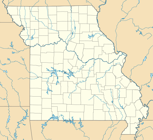
| Locale | Bird's Point, Missouri and Cairo, Illinois |
| Characteristics | |
| Design | Cantilever bridge |
| Total length | 5,175 feet (1,577 m) |
| Longest span | 701 feet (214 m) |
| Clearance below | 114 feet (35 m) |
| History | |
| Opened | 1929 |
 | |
The Cairo Mississippi River Bridge is a cantilever bridge carrying U.S. Route 60 and U.S. Route 62 across the Mississippi River between Bird's Point, Missouri and Cairo, Illinois.
Traveling downstream, the Cairo Mississippi River Bridge is the last bridge across the Mississippi River before the confluence of the Mississippi and Ohio Rivers.
The bridge was originally a toll bridge.[1]
-

Eastern approach
-

View from the north end
See also
References
- ↑ Map of Missouri Showing State Road System, January 1, 1930
External links
| Wikimedia Commons has media related to Cairo Mississippi River Bridge. |
| |||||||||