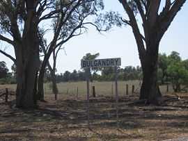
Bulgandry, New South Wales
| Bulgandry New South Wales | |
|---|---|
|
Entry sign | |
|
Bulgandry | |
| Coordinates | 35°37′S 146°37′E / 35.617°S 146.617°ECoordinates: 35°37′S 146°37′E / 35.617°S 146.617°E |
| Postcode(s) | 2642 |
| Elevation | 159 m (522 ft) |
| Location | |
| LGA(s) | Greater Hume Shire Council |
| County | Hume |
| State electorate(s) | Albury |
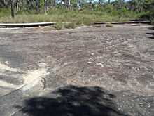
Bulgandry aboriginal site
Bulgandry is a village community in the central part of the Riverina. It is situated by road, about 6 kilometres north west from Rand and 12 kilometres south east from Walbundrie.
The place name Bulgandry is derived from the local Aboriginal word meaning "boomerang in hand".[2]
Walbundrie Reefs Post Office opened on 1 July 1875, was renamed Bulgandry in 1900 and closed in 1975.[3]
Notes and references
- ↑ Travelmate
- ↑ "Bulgandry". Geographical Names Register (GNR) of NSW. Geographical Names Board of New South Wales.
- ↑ Premier Postal History, Post Office List, retrieved 2009-06-11
| Wikimedia Commons has media related to Bulgandry, New South Wales. |