Bratříkovice
| Bratříkovice | |
|---|---|
| Village | |
 Bratříkovice | |
| Coordinates: 49°56′1″N 17°41′49″E / 49.93361°N 17.69694°ECoordinates: 49°56′1″N 17°41′49″E / 49.93361°N 17.69694°E | |
| Country | Czech Republic |
| Region | Moravian-Silesian Region |
| District | Opava District |
| Area | |
| • Total | 3.73 km2 (1.44 sq mi) |
| Elevation | 414 m (1,358 ft) |
| Population (November 1, 2010) | |
| • Total | 162 |
| • Density | 43/km2 (110/sq mi) |
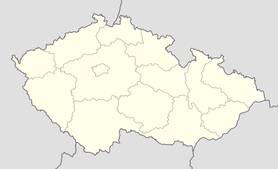
Bratříkovice is a village in the Moravian-Silesian Region of the Czech Republic. As of November 1, 2010 the population was 162.
History
The first written mention of the village dates back to 1265.
Location
Bratříkovice is located near the mountain Nízký Jeseník. It is about 7 km southeast of the town of Horní Benešov. To the west and north-east of Bratříkovice are forests. West of the village, there former slate mines.