Bradevelt, New Jersey
| Bradevelt, New Jersey | |
|---|---|
| Unincorporated community | |
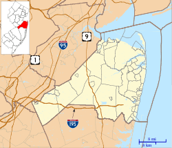 Bradevelt, New Jersey Bradevelt's location in Monmouth County (Inset: Monmouth County in New Jersey) | |
 Bradevelt, New Jersey Location within the state of New Jersey | |
| Coordinates: 40°20′04″N 74°14′22″W / 40.33444°N 74.23944°WCoordinates: 40°20′04″N 74°14′22″W / 40.33444°N 74.23944°W | |
| Country | United States |
| State | New Jersey |
| County | Monmouth |
| Township | Marlboro |
| Elevation | 161 ft (49 m) |
| ZIP code | 07746 |
| GNIS feature ID | 0874884[1] |
Bradevelt is an unincorporated community located within the Morganville section of Marlboro Township, in Monmouth County, New Jersey, United States.[2][3] County Route 520 travels through Bradevelt, while Route 79 is located west of the community.
References
- ↑ "Bradevelt". Geographic Names Information System. United States Geological Survey. Retrieved September 25, 2012.
- ↑ U.S. Geological Survey (1893). Bulletin of the United States Geological Survey, Volume 22. Retrieved July 15, 2011.
- ↑ Locality Search, State of New Jersey. Accessed February 17, 2015.
