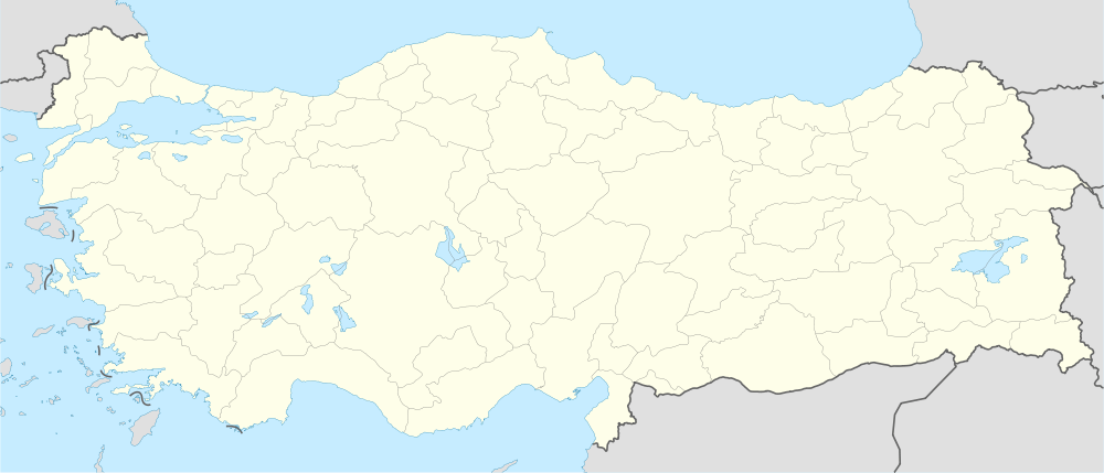
Bozgüney, Adana
| Bozgüney | |
|---|---|
| Town | |
 Bozgüney Location in Turkey | |
| Coordinates: 38°00′N 36°15′E / 38.000°N 36.250°ECoordinates: 38°00′N 36°15′E / 38.000°N 36.250°E | |
| Country |
|
| Province | Adana Province |
| District | Tufanbeyli |
| Elevation | 1,500 m (4,920 ft) |
| Population (2012) | |
| • Total | 1,120 |
| Time zone | EET (UTC+2) |
| • Summer (DST) | EEST (UTC+3) |
| Postal code | 01640 |
| Area code(s) | 0322 |
| Licence plate | 01 |
Bozgüney is a town in Adana Province, Turkey.
Geography
Bozgüney is a part of Tufanbeyli district which in turn is a part of Adana Province. It is at the extreme north of the province with coordinates 38°00′N 36°15′E / 38.000°N 36.250°E. It is on the northern slopes of Toros Mountains with an altitude of 1,500 metres (4,900 ft). Distance to Adana is 200 kilometres (120 mi) and to Tufanbeyli is 13 kilometres (8.1 mi) . The population is 1120 as of 2012.[1]
History
The vicinity was inhabited throughout the history. The earliest settles were probably Luwians. The ruins of Comana, the Roman town, are a few kilometers west of Bozgüney. Although debatable, Comana is usually identified with Kummanni, the capital of the kingdom of Kizzuwatna during Hittite domination . The present residents are named Fakılar (a branch of Afshar Turkmens) who had migrated from north Turkistan to Anatolia in mid 14th century. In 1999 Bozgüney was declared township.[2]
Economy
Main economic activities are agriculture, animal husbandry and carpet weaving.
Status in 2014
According to Law act no 6360, all township municipalities will be abolished and they will be merged into the district municipalities in 2014. Thus in 2014, Bozgüney will be a part of Tufanbeyli municipality.[3]