Bouna, Ivory Coast
| Bouna | |
|---|---|
| city | |
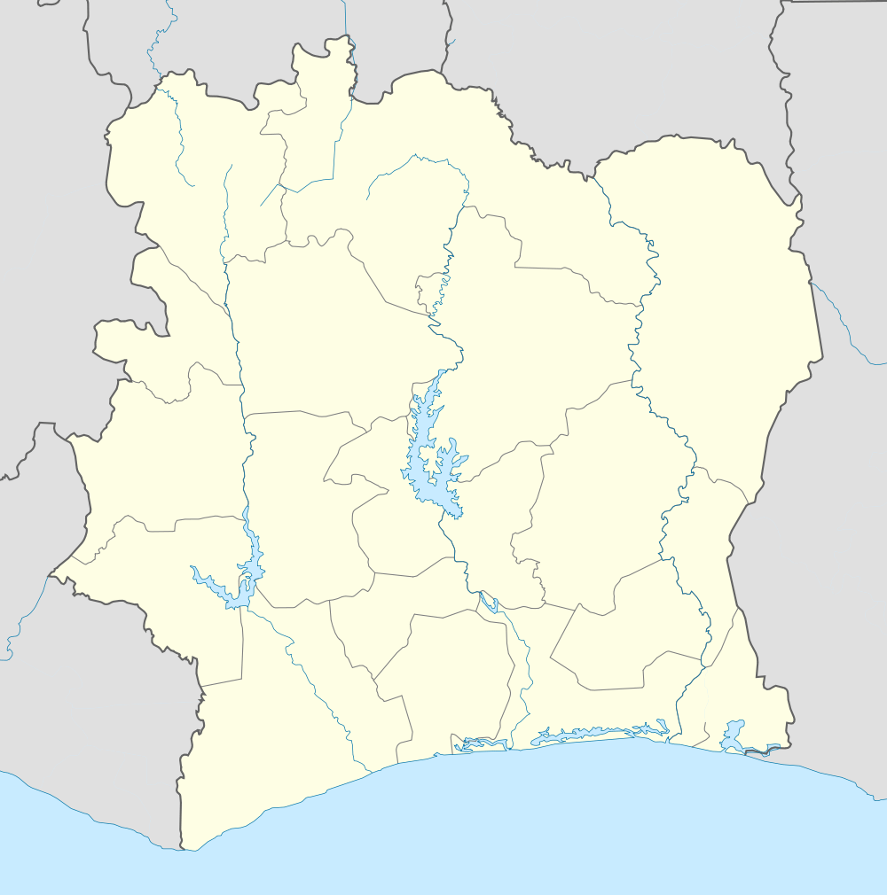 Bouna Location in Ivory Coast | |
| Coordinates: 9°16′N 3°0′W / 9.267°N 3.000°W | |
| Country |
|
| Region | Zanzan Region |
| Time zone | GMT (UTC+0) |
Bouna is a town in Bouna Department, lying in Zanzan Region in northeastern Ivory Coast. Near to the town of Bouna is the Comoé National Park and near the Ghanaian border. The main town of the Lobi people, it is known for the vernacular architecture of the fortress-style adobe compounds in surrounding villages. Bouna is historically a Koulango village.
Bouna, also spelled Buna, was formerly the center of a "highly centralized kingdom based on military districts administered by princes" who exploited the local gold deposits;[1] the kingdom was created in the late 17th century by Bounkani, an immigrant from the Dagomba people. Like Kong, it became a major center of Islamic learning.[2]
The city is served by its own dirt-runway airport. This bush landing strip mainly serves the UN in that area.
It was one of the main strongholds of the Nouvelle Forces, the rebel army of the 2002 attempted coup d'état. The general population suffered greatly in the early days of the rebellion. Things are gradually returning to normal in the area. However, there is much to be done to get the region fully functional in the areas of education and health.
Notes
| Wikimedia Commons has media related to Bouna. |
| |||||||||||||||||||||||||
