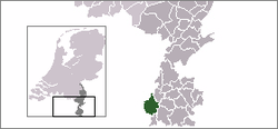
Borgharen
Coordinates: 50°53′N 5°41′E / 50.883°N 5.683°E
| Borgharen | |
|---|---|
 | |
 | |
| Country | Netherlands |
| Province | Limburg |
| Municipality | Maastricht |
| Population | 1.857 |
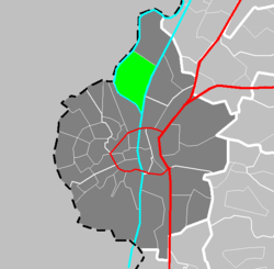
Borgharen (Limburgish: Hare) is a town in the Dutch province of Limburg. It is a part of the municipality of Maastricht, and lies about 3 km north of Maastricht. Until 1970, it was a separate municipality.
In 2001, Borgharen had 1814 inhabitants. The built-up area of the town was 0.34 km², and contained 732 residences.[1]
External links
| Wikimedia Commons has media related to Borgharen (Maastricht). |
- J. Kuyper, Gemeente Atlas van Nederland, 1865-1870, "Borgharen". Map of the former municipality, around 1868.
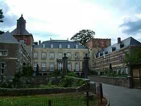 Borgharen Castle |
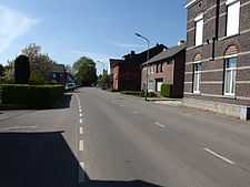 A Borgharen street |
References
- ↑ Statistics Netherlands (CBS), Bevolkingskernen in Nederland 2001 . Statistics are for the continuous built-up area.
| |||||||||||||||||||||||||||||||||||||||||||||||||||||||