Bolesławów, Greater Poland Voivodeship
| Bolesławów | |
|---|---|
| Village | |
 Bolesławów | |
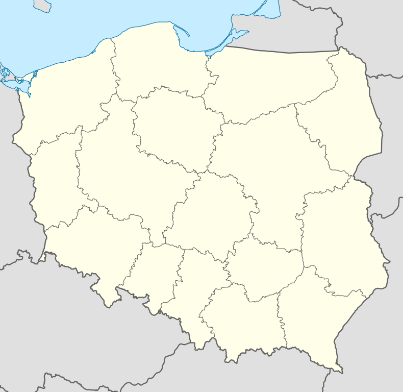
| Coordinates: 51°54′N 17°18′E / 51.900°N 17.300°E | |
| Country |
|
| Voivodeship | Greater Poland |
| County | Gostyń |
| Gmina | Borek Wielkopolski |
Bolesławów [bɔlɛˈswavuf] is a village in the administrative district of Gmina Borek Wielkopolski, within Gostyń County, Greater Poland Voivodeship, in west-central Poland.[1] It lies approximately 4 kilometres (2 mi) south-east of Borek Wielkopolski, 20 km (12 mi) east of Gostyń, and 62 km (39 mi) south-east of the regional capital Poznań.
References
Coordinates: 51°54′00″N 17°18′00″E / 51.9000°N 17.3000°E
