Blanco River (Texas)
| Blanco River | |
|---|---|
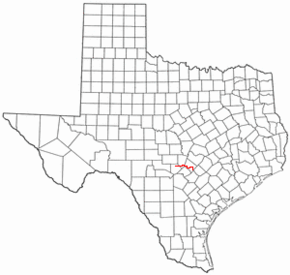 Location of the Blanco River in central Texas | |
| Origin | Kendall County, Texas, U.S.A |
| Mouth | San Marcos River, Hays County, Texas, U.S.A. |
| Basin countries | U.S.A. |
| Length | 87 miles (140 km) |
| Source elevation | 1,607 feet (490 m) |
| Avg. discharge | 93 ft³/s (3 m³/s) |
| Basin area | 412 square miles (1,067 km2) |
The Blanco River is a river in the Hill Country of Texas in the United States.
Course
The primary source for the river is a series of springs in northern Kendall County. The river flows generally eastward for 87 miles (140 km) through Kendall County, Blanco County and Hays County. Near San Marcos, it takes a southerly turn and joins with the San Marcos River.
The river is generally quite shallow, and it briefly dips below ground in some areas in the Hill Country. As with many of the rivers in the Texas Hill Country, there is great variability in the Blanco River's flow. The mean flow is 93 ft³/s (3 m³/s), but heavy rains in the river's watershed can cause flash flooding with little warning.
Geography
The upper reaches of the Blanco River are hilly, and the river's slopes are frequently steep. As the river reaches the Balcones Escarpment near San Marcos, it widens and its slopes moderate; this is typical of rivers in the coastal prairies of the state. The Blanco is located in the south of Texas
Economy
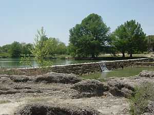
The Blanco River provides drinking water for the city of Blanco, as well as water supplies for nearby ranches. The river also supports a number of recreational areas, including the Blanco State Recreation Area in Blanco, the Boy Scouts camp El Rancho Cima near Wimberley, Texas, and other private parks and resorts.
See also
External links
- Blanco River from the Handbook of Texas Online
- The Narrows (of the Blanco River) from the Handbook of Texas Online
- Pull: Texas Canoe trip Video of a canoe trip down the river with winching.