Blackbrook, Derbyshire
| Blackbrook | |
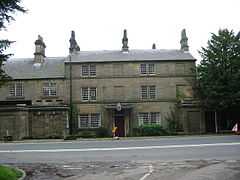 Crossroads Farm at Blackbrook. |
|
 Blackbrook |
|
| OS grid reference | SK330478 |
|---|---|
| District | Amber Valley |
| Shire county | Derbyshire |
| Region | East Midlands |
| Country | England |
| Sovereign state | United Kingdom |
| Post town | BELPER |
| Postcode district | DE56 |
| Police | Derbyshire |
| Fire | Derbyshire |
| Ambulance | East Midlands |
| EU Parliament | East Midlands |
|
|
Coordinates: 53°01′37″N 1°30′29″W / 53.027°N 1.508°W
Blackbrook is a hamlet in Derbyshire, England. It is located 2 miles (3 km) west of Belper, on the A517 Ashbourne road. Whilst being closer to Belper than Duffield, it is on the western side of the Farnah Green Road/Dalley Lane 'corridor' and thus lies within a roughly 1 kilometre (0.62 mi) wide (and often less wide) 'finger extension' of the Duffield civil parish, which runs north, in the area roughly bounded by North Lane, Chevin Road, Farnah Green Road and Dalley Lane, from near Courthouse Farm through Chevinside and Farnah Green, ending just to the south and west of Belper Lane End.[1] It is not therefore part of Belper civil parish.
References
- ↑ "Boundary Map of Duffield AP/CP". Retrieved March 24, 2014.