Billingsgate Island Light
|
US Coast Guard photo | |
 | |
| Location | Wellfleet, Massachusetts |
|---|---|
| Coordinates | 41°52′18″N 70°4′8.35″W / 41.87167°N 70.0689861°WCoordinates: 41°52′18″N 70°4′8.35″W / 41.87167°N 70.0689861°W |
| Year first constructed | 1822 |
| Year first lit | 1858 (last structure) |
| Deactivated | destroyed by storm 1915 |
| Foundation | Granite |
| Construction | Brick |
| Tower shape | Square |
| Markings / pattern | Red with black lantern |
| Focal height | 41 feet (12 m) |
| Original lens | Fourth order Fresnel lens |
| Range | 12 nautical miles (22 km; 14 mi) |
| Characteristic | F W |
| Fog signal | none[1] |
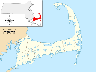
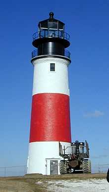
Billingsgate Island Light was located on what is still called Billingsgate Island[1] though it is underwater at high tide,[2] at the entrance to the harbor in Wellfleet, Massachusetts.
References
- ↑ 1.0 1.1 "Historic Light Station Information and Photography: Massachusetts". United States Coast Guard Historian's Office.
- ↑ NOAA (2006). Chart 13250: Wellfleet Harbor, 1:40,000.
