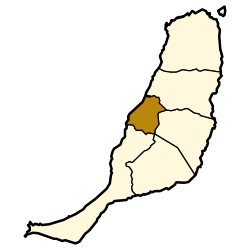
Betancuria
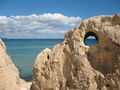
Betancuria is a small town and a municipality in the western part of the island of Fuerteventura in the Province of Las Palmas, Canary Islands, Spain. The population is 811 (2013),[2] and the area is 103.64 km2 (40 sq mi).[1] It is situated in a mountainous region, 4 km (2 mi) west of Antigua and 21 km (13 mi) southwest of the island capital Puerto del Rosario. By population it is the smallest municipality in Fuerteventura as well as all of the Canary Islands.
Betancuria is named after Jean de Béthencourt, who founded the town in 1404 with Gadifer de La Salle. It was the original capital of the Kingdom of the Canary Islands, and later capital of Fuerteventura. It was razed by pirates in 1593, but remained capital of Fuerteventura until 1834, when Antigua became capital. In Vega de Rio Palmas is the hermitage of the Virgen de la Peña, the patron saint of the island of Fuerteventura.
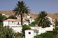
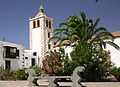
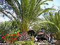
Gallery
See also
 |
Wikimedia Commons has media related to Betancuria. |
References