Berekum
| Berekum | |
|---|---|
| Town & District Capital Pepaase, Akroforo, Kotaa, Domeabra, Ampenkro, Mpatasie, Tewbabi, Abisase, Koraso, Adom, Amankokwaa, Jamdede, Domfete, Jinijini, Fetentaa, Ayinasu, Botokrom, Kyereyawkrom, Nkyenkyemam, Nsapo, Amomaso, Nanasuano, Benkasa, Biadan, Sense, Akatim, Gyankontabuo, Kato, Namasua, Kutre 1, Kutre 2, Mpatapo,....... | |
| Nickname(s): BKM | |
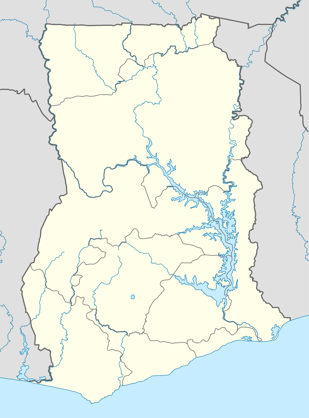 Berekum Location of Berekum in Brong Ahafo, South Ghana | |
| Coordinates: 7°27′N 2°35′W / 7.450°N 2.583°W | |
| Country | Ghana |
| Region |
|
| District | Berekum Municipal |
| Elevation | 327 m (1,073 ft) |
| Population (2013) | |
| • Total | 62,364[1] |
| Time zone | GMT |
| • Summer (DST) | GMT (UTC) |
| Website | Berekum Website |
Berekum is a town and is the capital of Berekum Municipal in the Brong Ahafo Region of South Ghana.[2] Berekum has a population of 62,364.[1]
Climate
| Climate data for Berekum | |||||||||||||
|---|---|---|---|---|---|---|---|---|---|---|---|---|---|
| Month | Jan | Feb | Mar | Apr | May | Jun | Jul | Aug | Sep | Oct | Nov | Dec | Year |
| Average high °C (°F) | 35 (95.0) |
41 (105.8) |
38 (100.4) |
39 (102.2) |
32.5 (90.5) |
31.5 (88.7) |
40 (104.0) |
31.9 (89.4) |
29.9 (85.8) |
46 (114.8) |
34.4 (93.9) |
34 (93.2) |
36.1 (96.98) |
| Average low °C (°F) | 17.8 (64.0) |
18.1 (64.6) |
16.8 (62.2) |
16.8 (62.2) |
14.5 (58.1) |
13.8 (56.8) |
15.9 (60.6) |
15.3 (59.5) |
14.8 (58.6) |
16.3 (61.3) |
16.3 (61.3) |
15.6 (60.1) |
16 (60.78) |
| Average precipitation mm (inches) | 8 (0.3) |
10 (0.4) |
13 (0.5) |
48 (1.9) |
89 (3.5) |
76 (3.0) |
30 (1.2) |
33 (1.3) |
61 (2.4) |
79 (3.1) |
30 (1.2) |
8 (0.3) |
485 (19.1) |
| Source: Meoweather.com [3] | |||||||||||||
Stadiums and sports
Stadiums
Main article: Berekum Sports Stadium
Sports
Professional sports teams based in Berekum include:
Personalities
References
- ↑ 1.0 1.1 "World Gazetteer online". World-gazetteer.com.
- ↑ Berekum Municipal
- ↑ "Berekum Weather Averages". Meoweather. 2013. Retrieved 21 June 2013.
| ||||||||||||||||||||||||||||||||||||||||||||
| ||||||||||||||||||||||||||||||||||||||||||||||