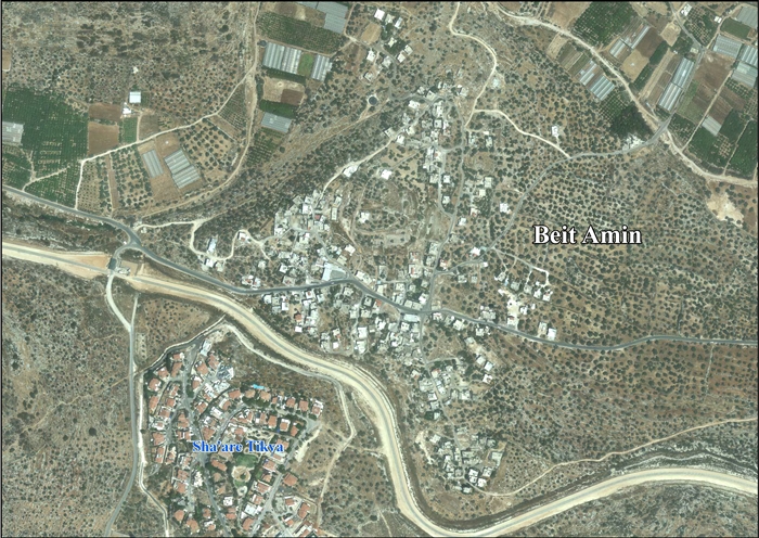
Beit Amin
| Beit Amin | |
|---|---|
| Other transcription(s) | |
| • Arabic | بيت أمين |
 Beit Amin Location of Beit Amin within Palestine | |
| Coordinates: 32°07′52″N 35°01′13″E / 32.13111°N 35.02028°ECoordinates: 32°07′52″N 35°01′13″E / 32.13111°N 35.02028°E | |
| Governorate | Qalqilya |
| Government | |
| • Type | Village council |
| Population (2006) | |
| • Jurisdiction | 1,147 |
Beit Amin (Arabic: بيت أمين) is a Palestinian town in the Qalqilya Governorate in the western West Bank, located south of Qalqilya. According to the Palestinian Central Bureau of Statistics, the village had a population of approximately 1,147 inhabitants in 2006.[1]
References
Bibliography
- Conder, Claude Reignier; Kitchener, H. H. (1882). The Survey of Western Palestine: Memoirs of the Topography, Orography, Hydrography, and Archaeology 2. London: Committee of the Palestine Exploration Fund. (p. 329)
- Palmer, E. H. (1881). The Survey of Western Palestine: Arabic and English Name Lists Collected During the Survey by Lieutenants Conder and Kitchener, R. E. Transliterated and Explained by E.H. Palmer. Committee of the Palestine Exploration Fund. (p. 232)
External links
- Welcome To Beit Amin
- SWP map 14, IAA
- SWP map 14, Wikimedia commons
- Beit Amin Village (Fact Sheet), ARIJ
- Beit Amin Village Profile, ARIJ
- Beit Amin, areal photo, ARIJ
- Development Priorities and Needs in Beit Amin, ARIJ
- Subterranean Wells of Jayyus and Beit Amin villages in Qalqiliya governorate-swamped with waste dumped by Israeli settlers 12, February, 2007, ARIJ
| ||||||||||||||||
