Beckenham, Western Australia
| Beckenham Perth, Western Australia | |||||||||||||
|---|---|---|---|---|---|---|---|---|---|---|---|---|---|
 Beckenham | |||||||||||||
| Coordinates | 32°01′19″S 115°57′14″E / 32.022°S 115.954°ECoordinates: 32°01′19″S 115°57′14″E / 32.022°S 115.954°E | ||||||||||||
| Population | 5,938 (2006 census)[1] | ||||||||||||
| • Density | 1,006/km2 (2,607/sq mi) | ||||||||||||
| Postcode(s) | 6107 | ||||||||||||
| Area | 5.9 km2 (2.3 sq mi) | ||||||||||||
| Location | 13 km (8 mi) from Perth | ||||||||||||
| LGA(s) | City of Gosnells | ||||||||||||
| State electorate(s) | Cannington | ||||||||||||
| Federal Division(s) | Swan | ||||||||||||
| |||||||||||||
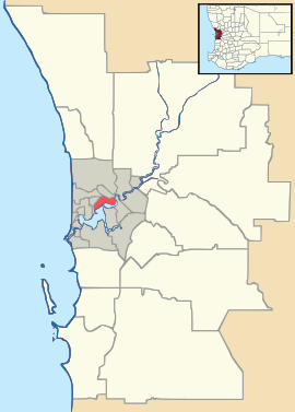
Beckenham is a suburb of Perth, the state capital of Western Australia, Australia, located within the City of Gosnells.
History
This suburb has seen many name changes. It was previously known as Buckingham, it once shared a "common usage" name of Waverley with East Cannington, and has one of the oldest and most well respected primary schools in Western Australia.[2] The Canning River runs along the southwestern outskirts of Beckenham. In 2011 Beckenham released many new divisions of land and was recently awarded a 4.5/5 star rating in a poll of best places to live in Australia. [3] In 2013 Beckenham house values increased by 14.30%[4]
See also
References
- ↑ Australian Bureau of Statistics (25 October 2007). "Beckenham (State Suburb)". 2006 Census QuickStats. Retrieved 2008-10-05.
- ↑ Carden, F.G. Along the Canning: A History of the City of Canning, City of Canning, 1st Edition 1968, 2nd edition, 1991,
- ↑ http://www.homely.com.au/beckenham-gosnells-perth-greater-western-australia
- ↑ http://reiwa.com.au/Research/Pages/Price-growth-by-suburb.aspx