Baxterley
| Baxterley | |
 The Rose Inn |
|
 Baxterley |
|
| Population | 335 (2001) |
|---|---|
| OS grid reference | SP96993 |
| Civil parish | Baxterley |
| District | North Warwickshire |
| Shire county | Warwickshire |
| Region | West Midlands |
| Country | England |
| Sovereign state | United Kingdom |
| Post town | Atherstone |
| Postcode district | CV9 |
| Dialling code | 01827 |
| Police | Warwickshire |
| Fire | Warwickshire |
| Ambulance | West Midlands |
| EU Parliament | West Midlands |
| UK Parliament | North Warwickshire |
|
|
Coordinates: 52°34′12″N 1°35′28″W / 52.570°N 1.591°W
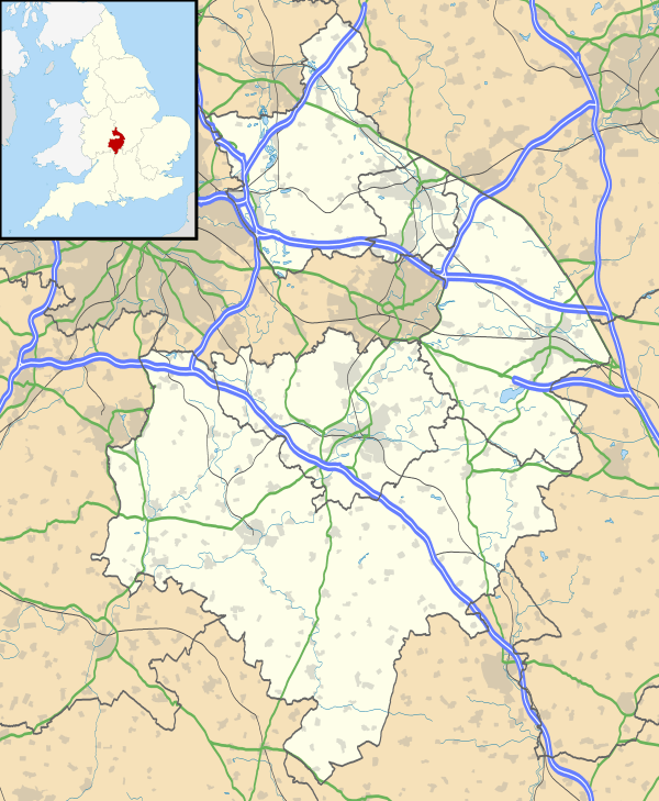
Baxterley is a village and civil parish in the North Warwickshire district of Warwickshire in England. According to the 2001 census, it had a population of 335. The village is about two miles west of Atherstone.
History
Baxterley has been around since Saxon times but is not mentioned in the Domesday Book. Baxterley Hall was built by John Glover in 1548, and demolished in 1849.
Village website at—baxterley.com - includes extensive photo library
Also 'A Photographic History of Baxterley' Published by Baxterley Heritage Group in 2010 which follows the village history from the Saxon era and documents its agricultural history to modern times.
It is thought that the original village site was built up around the church, quite some distance away from the current village and was mainly a centre for agricultural dwellings and working. The opening of the mine resulted in a gradual migration of the labour some 2 miles or so down the road so that nowadays there are just a few isolated cottages and houses close to the church and the majority of the village has effectively relocated to its present position.
Mining
Baddesley and Baxterley Pit was the major employer in the area, from its opening in 1850, to its closure in 1989. It was the site of one of the worst pit disasters in the Midlands, where a coal dust explosion in 1882 lead to the deaths of 32 men, including the owner, William Dugdale of Merevale Hall. There is a memorial to those who lost their lives in the pit in the nave of the church.[1] the mine closed in 1989 and remained derelict for many years until the remaining pit buildings on the Main Road were refurbished and converted into offices.[2]
Demographics
according to the 2001 census the population for the parish is 395 and the most common age is 43. the population for ward of Baddesley and Grendon is 3,951 and is over 99% White British with only 3 people from an ethnic minority. The most common Distance travelled to work is 2-5km which is Atherstone.[3]
Crime
In 2009 there was an average of 2.2 crimes per 1,000 people for the ward of Baddesley and Grendon, and during the same period there were 5 crimes per head for the borough of North Warwickshire. In 2010 the figure was up to 3.3 crimes per head. The most common type of crime is anti-social behaviour.[4]
Health
The village lies in the North Warwickshire NHS trust area. The village does not have its own doctor's surgery or pharmacy The nearest GP's surgeries can be found in Baddesley Ensor and Hurley. The George Eliot Hospital at Nuneaton is the area's local hospital. It has an Accident and Emergency Department. Out of hours GP services are also based at George Eliot.
Religion
For the Ward of Baddesley and Grendon 82% Describe themselves as Christian and 18% describe themselves as non-religious with less than 1% of people describing themselves as other.[5]
Baxterley Church
Baxterley Church, a church in the Polesworth Deanery of the Diocese of Birmingham, it is about 1.7 miles from the village and the nearest village to it is Wood End. It is part of the Kingsbury and Baxterley Group of churches.[6]
Education
There has never been any educational establishment in the village so most primary school students attend Wood End Primary School and high school students attend school in Atherstone.
NB ... there used to be Baxterley & Hurley Sunday School by the Church which opened in 1839 and also Bentley School which opened in 1846 - Bentley School is still standing though not used for education ( Chris Brett, Baxterley Parish Council 10 / 01 / 12 )
Governance
The village is a Civil Parish in its own Right.
The village was originally part of the Atherstone Rural District. In 1974 under the Local Government Act 1972 it became part of the newly formed district of North Warwickshire. Inside North Warwickshire it is part of the Baddesley Ensor and Grendon ward, both councilors are currently Labour.
It is part of the North Warwickshire constituency and the current MP is Conservative Dan Byles.
Recreation
There is a Public House known as the Rose Inn. Outside the front of The Rose and next to the village pond is half of the original winding wheel from the mine, mounted on a plinth. The Nearest Leisure centre is in Atherstone.
Also there is a PARK a few hundred metres to the west of the Rose Inn which has a large grassed playing field area and a play area with swings and a climbing frame etc.
The play area is designed to offer facilities to children of all ages and there is also a table and bench seating.
Public Services
The village does not have any takeaways or restaurants, with the nearest one being in Atherstone. Water and sewage services are provided by Severn Trent Water. The Postal Town is Atherstone. The nearest police and fire stations are in Atherstone.[7]
Transport
Baxterley lies close to the A5 near Atherstone.
The village has 2 bus stops along Main road served by route 777, and the nearest railway station is Atherstone.
The nearest airport is Birmingham (15 miles).
Baxterley Airfield
Baxterley airfield is a small grass-strip airfield with a single runway located next to the village. It hosts several air shows throughout the year.[8]
Media
The local newspaper covering the area is the Atherstone Recorder.
Local radio includes BBC Coventry & Warwickshire, Mercia and Touch FM.
The village is covered by the Central ITV and BBC West Midlands TV regions.
References
- ↑ http://www.baddesleypitexplosion.co.uk/index.html
- ↑ Mine Info
- ↑ Baddesley and Grendon (Ward) ONS
- ↑ Crime Statistics For Baxterley
- ↑ Religious Beliefs
- ↑ http://www.kingbaxgroup.org.uk
- ↑ Warwickshire Police Stations
- ↑ Baxterley Airfield
External links
| Wikimedia Commons has media related to Baxterley. |