Bassa, Kogi State
| Bassa | |
|---|---|
| LGA | |
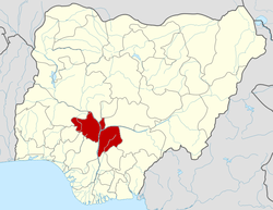
 Bassa Location in Nigeria | |
| Coordinates: 7°54′N 7°03′E / 7.900°N 7.050°ECoordinates: 7°54′N 7°03′E / 7.900°N 7.050°E | |
| Country |
|
| State | Kogi State |
| Area | |
| • Total | 1,925 km2 (743 sq mi) |
| Population (2006 census) | |
| • Total | 139,993 |
| Time zone | WAT (UTC+1) |
| 3-digit postal code prefix | 272 |
| ISO 3166 code | NG.KO.BA |
Bassa is a Local Government Area in Kogi State, Nigeria. Its northern border is the Benue River and its western border is the Niger River. Its headquarters are in the town of Oguma.
It has an area of 1,925 km² and a population of 139,993 at the 2006 census.
The postal code of the area is 272.[1]
References
- ↑ "Post Offices- with map of LGA". NIPOST. Archived from the original on 7 October 2009. Retrieved 2009-10-20.
| |||||||||||||