Barkston Ash
| Barkston Ash | |
 Main Street junction with the A192, Barkston Ash |
|
 Barkston Ash |
|
| OS grid reference | SE491361 |
|---|---|
| Civil parish | Barkston Ash |
| District | Selby |
| Shire county | North Yorkshire |
| Region | Yorkshire and the Humber |
| Country | England |
| Sovereign state | United Kingdom |
| Post town | TADCASTER |
| Postcode district | LS24 |
| Police | North Yorkshire |
| Fire | North Yorkshire |
| Ambulance | Yorkshire |
| EU Parliament | Yorkshire and the Humber |
Coordinates: 53°49′09″N 1°15′16″W / 53.819220°N 1.254460°W
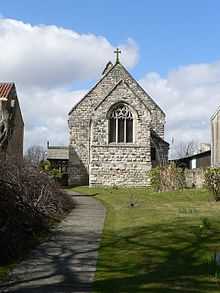
Barkston Ash is a small village and civil parish close to Selby in North Yorkshire, England. Until recently it was officially called Barkston. A local legend has it that the ash tree which stands in the centre of the village and gives it its name also marks the exact centre of Yorkshire, and that anyone who spits at this tree will be struck by lightning a year and a day later. The Barkston Ash Folly, a rumbustious and disorganised team game played by the young men of the village with pigs' bladders and "lighteners" (wooden staves), commemorated a mythical figure known as Jack Foll whom this accident is said to have befallen; the last recorded Barkston Ash Folly was in 1753.
The Barkston Ash wapentake was named after the village. Barkston Ash was also the name of the local parliamentary constituency of Barkston Ash up until 1983, when its boundaries were redrawn to divide the area into Elmet and Selby. The Barkston Ash constituency was traditionally a safe Conservative seat, though both successive constituencies elected Labour MPs in 1997.
External links
 Media related to Barkston Ash at Wikimedia Commons
- The Ancient Parish of Sherburn in Elmet at GENUKI: Barkston Ash was in this parish
| ||||||||||||||||||||||||||