Barachois Pond Provincial Park
| Barachois Pond Provincial Park | |
|---|---|
|
IUCN category VI (protected area with sustainable use of natural resources) | |
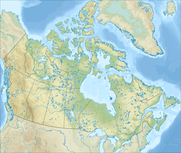 Location of Barachois Pond Provincial Park in Canada | |
| Location | Newfoundland, Canada |
| Nearest city | Stephenville, St. George's |
| Coordinates | 48°28′20″N 58°15′11″W / 48.47222°N 58.25306°WCoordinates: 48°28′20″N 58°15′11″W / 48.47222°N 58.25306°W |
| Area | 35 km2 (14 sq mi) |
| Governing body | Newfoundland and Labrador Government - Parks & Natural Areas Division |
Barachois Pond Provincial Park is a large and popular Provincial Park in the southwest of the island of Newfoundland. The park covers an area of 35 km2 (14 sq mi). The park is situated off the Trans-Canada Highway, near Stephenville.
There is a hiking path to the top of Erin Mountain, a peak in the Long Range Mountains which run along the west coast of Newfoundland. The trail takes about 2 hours to traverse.
Barachois Pond is a large lake located in the park.
Chipmunks were first introduced into Newfoundland here.
See also
- Barachois
- List of Newfoundland and Labrador parks
- List of Canadian provincial parks
- List of National Parks of Canada