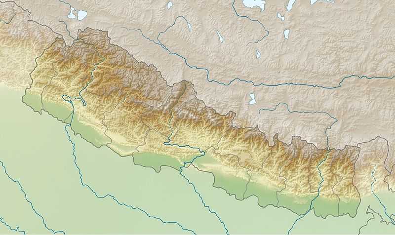
Bangemarkot
| Bangemarkot बाङ्गेमारकोट | |
|---|---|
| Village Development Committee | |
| Coordinates: 28°07′N 83°00′E / 28.12°N 83.00°E | |
| Country |
|
| Region | Mid-Western |
| Zone | Rapti Zone |
| District | Pyuthan District |
| VDC | Bangemarkot |
| Population (2001 Census[1]) | |
| • Total | 3,579 |
| 684 households | |
| Time zone | Nepal Time (UTC+5:45) |
Bangemarkot is a Village Development Committee in Pyuthan, a Middle Hills district of Rapti Zone, western Nepal.
Villages in VDC
| Ward | Lat. | Lon | Elev. | ||
|---|---|---|---|---|---|
| Alkabajh | अल्काबाझ | 28°06'N | 83°00'E | 1,405m | |
| Ambot | आमबोट | 28°07'N | 82°59'E | 1,130 | |
| Bajhbange | बाझबाङ्गे | 28°07'N | 83°00'E | 1,320 | |
| Bange | बाङ्गे | 2 | 28°07'N | 83°00'E | 1,464 |
| Bangephedi | बाङ्गेफेदी | 4 | 28°07'N | 83°00'E | 1,270 |
| Baunda | बौंडा | 28°07'N | 83°01'E | 1,630 | |
| Biddanda | बिदडाँडा | 6 | 28°06'N | 83°02'E | 1,590 |
| Chaur | चौर | 28°07'N | 82°59'E | 1,190 | |
| Dorlote | दोर्लोटे | 28°07'N | 83°01'E | 1,410 | |
| Golkhanda | गोलखाँडा | 28°07'N | 82°59'E | 1,050 | |
| Harre | हर्रे | 28°07'N | 83°00'E | 1,210 | |
| Kauchhe | कौछे | 28°07'N | 82°59'E | 1,190 | |
| Kauchhe Khanda | कौछे खण्ड | 28°06'N | 82°59'E | 1,485 | |
| Kharipate | खरीपाटा | 28°08'N | 83°03'E | 1,350 | |
| Kopilpata | कोपिलपाटा | 28°07'N | 83°01'E | 1,130 | |
| Phursedhara | फुर्सेधारा | 28°06'N | 83°03'E | 1,690 | |
| Pokhari | पोखारी | 28°07'N | 83°02'E | 1,350 | |
| Pokharidandagaun | पोखरीडाँडागाउँ | 6 | 28°07'N | 83°02'E | 1,310 |
| Sadanthuta | सादनठुटा | 28°07'N | 83°01'E | 1,270 | |
| Sautamare | सौतामारे | 8 | 28°07'N | 83°03'E | 1,710 |
| Sautamare Phedi | सौतामारे फेदी | 6 | 28°07'N | 83°02'E | 1,170 |
| Sautamare Tallagaun | सौतामारे तल्लागाउँ | 28°07'N | 83°03'E | 1,430 | |
| Tallakharka | तल्लाखर्क | 28°07'N | 83°02'E | 1,610 | |
| Todke | टोड्के | 28°06'N | 83°00'E | 1,732 |
References
- ↑ "Nepal Census 2001". Nepal's Village Development Committees. Digital Himalaya. Archived from the original on 12 October 2008. Retrieved 21 September 2008.
- ↑ "Index of Geographical Names of Nepal, Volume IV: Mid Western Development Region, List of Settlements, Pyuthan". Government of Nepal, National Geographic Information Infrastructure Program. Retrieved 2011-03-12.
External links

Bangemarkot
Location of Bangemarkot VDC, Pyuthan District, Rapti Zone