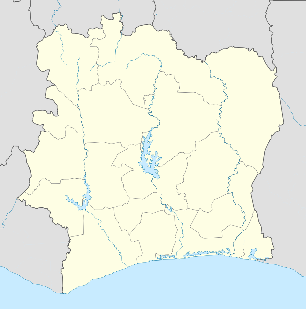
Bako, Ivory Coast
| Bako | |
|---|---|
| Town | |
 Bako Location in Ivory Coast | |
| Coordinates: 9°09′N 7°37′W / 9.150°N 7.617°WCoordinates: 9°09′N 7°37′W / 9.150°N 7.617°W[1] | |
| Country |
|
| Region | Denguélé |
| Department | Minignan Department |
| Time zone | GMT (UTC+0) |
Bako is a town in the Denguélé region of Ivory Coast.
Bako means, in the Dioula language of Ivory Coast, or the Bambara language of Mali, "behind the river": "Ba" meaning river and "ko" meaning behind. It is the designation by the people of the area, located between Segou and Ke-Macina, along the Niger river, and between Gare and Adamabougou along the Bani river in south-central Mali. Its administrative center is Katiena. Approximately 300,000 people inhabit around 600 villages of the area. It is part of the Segou region. Dienne, an ancient village in the northeastern part of the area is one of the oldest Islamic centers in Mali. The people of the area are mostly agrarian.
Robert D. Overstreet, Protestant missionary to Mali 1959-2001
References
- ↑ "Ivory Coast Cities Longitude & Latitude". sphereinfo.com. Retrieved 18 November 2010.
| |||||||||||||||||||||
