Baborów
| Baborów | ||
|---|---|---|
 | ||
| ||
 Baborów | ||
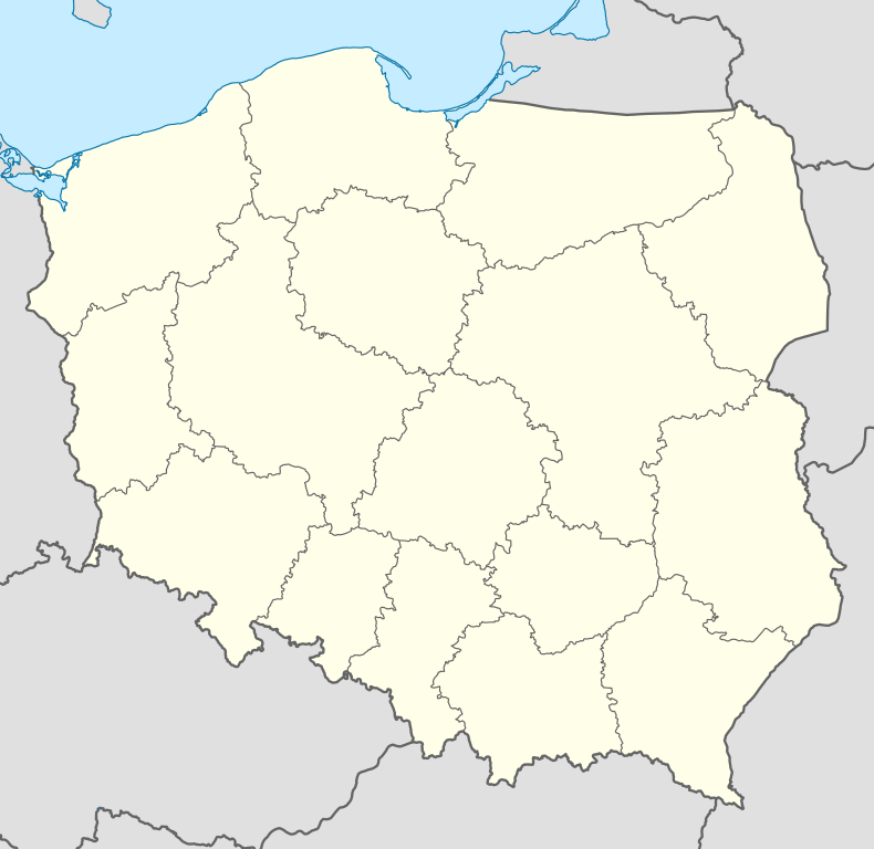
| Coordinates: 50°9′28″N 17°58′48″E / 50.15778°N 17.98000°E | ||
| Country |
| |
| Voivodeship | Opole | |
| County | Głubczyce | |
| Gmina | Baborów | |
| Government | ||
| • Mayor |
Eugeniusz Jan Waga; since 2010: Elzbieta Kielska | |
| Area | ||
| • Total | 11.73 km2 (4.53 sq mi) | |
| Population (2006) | ||
| • Total | 3,175 | |
| • Density | 270/km2 (700/sq mi) | |
| Time zone | CET (UTC+1) | |
| • Summer (DST) | CEST (UTC+2) | |
| Postal code | 48-120 | |
| Car plates | OGL | |
| Website | http://www.baborow.pl | |
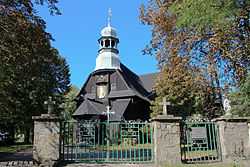
Baborów [baˈbɔruf] (German: Bauerwitz) is a small town in Poland near Głubczyce, Opole Voivodeship.
The first mention of the town comes from 1296 in which a wójt Jarosław is mentioned. The town was most likely founded by a Bohemian magnate, Bavor (Babor). Later it was part of an independent principality, the Austro Hungarian Empire, and then Kingdom of Prussia. After World War II it became part of Poland.
During the Second World War the town, then known as Bauerwitz, was the base for two working parties (E288 and E398) of British and Commonwealth prisoners of war, under the administration of Stalag VIIIB/344 at Łambinowice (then known as Lamsdorf) in Poland. In January 1945, as the Soviet armies resumed their offensive and advanced from the east, the prisoners were marched westward in the so-called Long March or Death March. Many of them died from the bitter cold and exhaustion. The lucky ones got far enough to the west to be liberated by the allied armies after some four months of travelling on foot in appalling conditions.[1]
Gmina
- Boguchwałów (Hohndorf)
- Czerwonków (Tschirmkau, 1936-45: Schirmke)
- Dziećmarowy (Dittmerau)
- Dzielów (Eiglau)
- Księże Pole (Knispel)
- Langowo (Langenau)
- Raków (Rakau)
- Sulków (Zülkowitz, 1936-45: Zinnatal)
- Szczyty (Tscheidt, 1936-45: Maxwaldau)
- Tłustomosty (Stolzmütz)
People
- Max Waldau, lived in Tscheidt (Szczyty), now in this gmina.
- Josef Achtelik (or Josef Achtélik), composer
- Carl Ulitzka
Twin cities
-
 Hradec nad Moravicí, Moravian–Silesian Region, Czech Republic
 -
 Teublitz, Bavaria, Germany
References
Coordinates: 50°09′20″N 17°58′50″E / 50.15556°N 17.98056°E
| ||||||||||||
