Büllingen
| Büllingen | ||
|---|---|---|
| Municipality | ||
| ||
 Büllingen Location in Belgium | ||
|
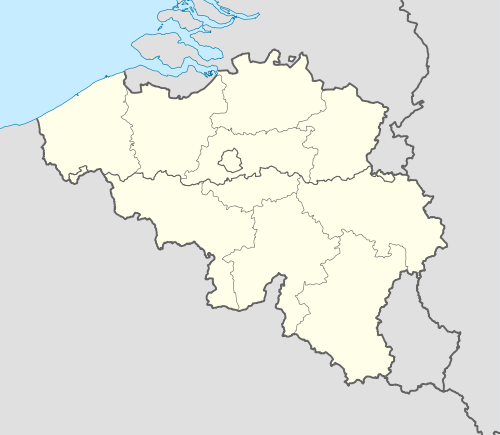
Location of Büllingen in the province of Liège  | ||
| Coordinates: 50°24′N 06°15′E / 50.400°N 6.250°ECoordinates: 50°24′N 06°15′E / 50.400°N 6.250°E | ||
| Country | Belgium | |
| Community | German-speaking Community | |
| Region | Wallonia | |
| Province | Liège | |
| Arrondissement | Verviers | |
| Government | ||
| • Mayor | Friedhelm Wirtz (EG-EVG) | |
| • Governing party/ies | EG-EVG | |
| Area | ||
| • Total | 150.49 km2 (58.10 sq mi) | |
| Population (1 January 2013)[1] | ||
| • Total | 5,532 | |
| • Density | 37/km2 (95/sq mi) | |
| Postal codes | 4760-4761 | |
| Area codes | 080 | |
| Website | www.buellingen.be | |
Büllingen (French: Bullange) is a largely German-speaking municipality located in the Belgian province of Liège. On January 1, 2006 Büllingen had a total population of 5,385. The total area is 150.49 km² which gives a population density of 36 inhabitants per km².
Its component village of Krewinkel includes the easternmost point in Belgium. The municipality also contains Rocherath, the highest village in Belgium, as well as the second highest point in Belgium, the Weißer Stein near Mürringen.[2]
Since 1977 Büllingen consists of 27 villages:
- Büllingen, Mürringen, Hünningen, Honsfeld
- Rocherath, Krinkelt, Wirtzfeld
- Manderfeld, Afst, Allmuthen, Berterath, Buchholz, Hasenvenn, Hergersberg, Holzheim, Hüllscheid, Igelmonder Hof, Igelmondermühle, Kehr, Krewinkel, Lanzerath, Losheimergraben, Merlscheid, Weckerath, Andlermühle, Eimerscheid, Medendorf
References
- ↑ Population per municipality on 1 January 2013 (XLS; 607.5 KB)
- ↑ "Büllingen: the record holder". Deutschsprachige Gemeinschaft Belgiens. Retrieved 2011-05-07.
External links
- (German) Official website
| ||||||||||||||||||||
