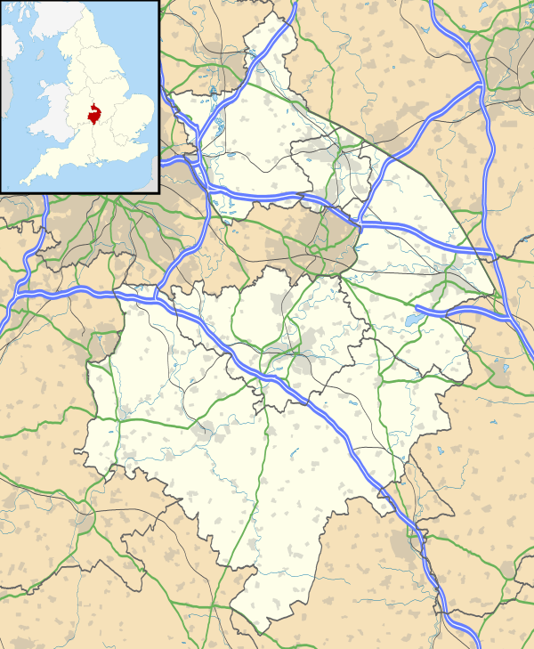
Attleborough, Warwickshire
| Attleborough | |
 Attleborough |
|
| Population | 7,564 (2001 census) |
|---|---|
| OS grid reference | SP369909 |
| District | Nuneaton and Bedworth |
| Shire county | Warwickshire |
| Region | West Midlands |
| Country | England |
| Sovereign state | United Kingdom |
| Post town | Nuneaton |
| Postcode district | CV11 |
| Dialling code | 024 |
| Police | Warwickshire |
| Fire | Warwickshire |
| Ambulance | West Midlands |
| EU Parliament | West Midlands |
| UK Parliament | Nuneaton |
|
|
Coordinates: 52°30′56″N 1°27′27″W / 52.51564°N 1.45748°W
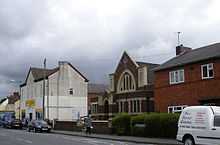
Attleborough is an area of Nuneaton in Warwickshire in central England. It is about a mile south-east of the town centre. The centre of Attleborough has a village feel to it and contains a number of shops, restaurants, takeaways and pubs. A wider variety of amenities can be found in Nuneaton town centre, 10 to 15 minutes' walk away.
Attleborough has a number of industrial estates: the largest of these is Attleborough Fields Industrial Estate, which, together with the adjacent Eastboro Fields/Hemdale development, is located in eastern Attleborough, immediately south of the Birmingham–Leicester railway line and the Horeston Grange housing estate. Other industrial estates in the area include Trident Business Park (on Holman Way, off Park Street) and the industrial estates off Caldwell Road (although, strictly speaking, these are in Chilvers Coton rather than Attleborough).
Nuneaton RFC (informally known as "The Nuns") and Nuneaton Town FC (formerly known as Nuneaton Borough and nicknamed "The Boro'") play their home matches at Liberty Way, just off the Attleborough Fields Industrial Estate. The stadium was rebuilt to accommodate Nuneaton Town FC for the 2007/08 season.
External links