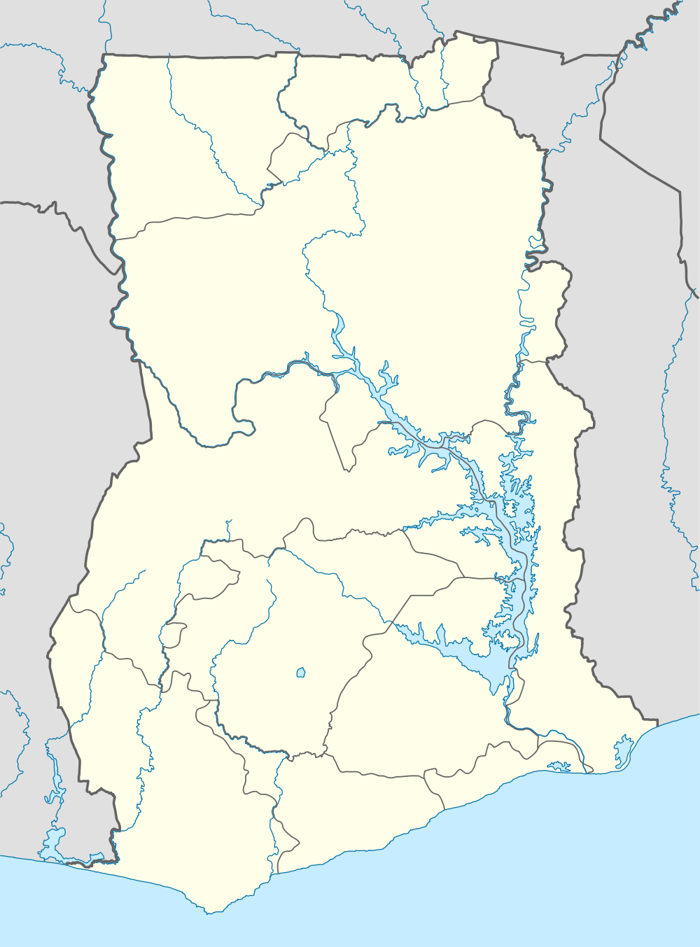
Asokore Mampong
| Asokore Mampong Asokore | |
|---|---|
| Town | |
 Asokore Mampong | |
| Coordinates: 6°42′N 1°34′W / 6.700°N 1.567°WCoordinates: 6°42′N 1°34′W / 6.700°N 1.567°W | |
| Country |
|
| Region | Ashanti Region |
| District | Sekyere East District |
| Elevation | 889 ft (271 m) |
| Time zone | GMT |
| • Summer (DST) | GMT (UTC) |
Asokore Mampong is a small town in the Sekyere East district, a district in the Ashanti Region of Ghana.[1]
Geography
Boundaries
The town is bordered on the north by Parkoso, to the West by Sepe Tinpomu, to the east by Nsenie-Kentinkronu and to the South by Ayigya.[2]
Location
Asokore Mampong is 10 kilometres from the centre of Kumasi. Asokore Mampong is a dormitory town.[1]
Education
Asokore Mampong is known for Kumasi Academy[3][4] The school is a second cycle institution.[5]
Apart from being a residential area for workers in various companies in Kumasi, many hostels are available to serve the students from the Kwame Nkrumah University of Science and Technology (KNUST).
Healthcare
The Ahmadiyya Hospital is located in Asokore Mampong.[1]
Notable places
The affordable housing projects has a huge site in the area for its buildings.[6]
References
- ↑ 1.0 1.1 1.2 Sekyere East District
- ↑ Asokore Mampong Municipal Assembly
- ↑ "Educational Institutions". www.centralregion.gov.gh. Retrieved 12 August 2011.
- ↑ "References » Schools/Colleges". www.modernghana.com. Retrieved 12 August 2011.
- ↑ "List of Secondary Schools in Ghana". www.ghanaschoolsnet.com/. Retrieved 12 August 2011.
- ↑ Affordable housing scheme begins in Kumasi. ModernGhana.com.