Ashendon, Western Australia
| Ashendon Perth, Western Australia | |||||||||||||
|---|---|---|---|---|---|---|---|---|---|---|---|---|---|
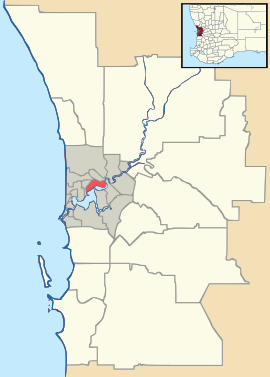 Ashendon Location in metropolitan Perth | |||||||||||||
| Coordinates | 32°12′43″S 116°11′28″E / 32.212°S 116.191°ECoordinates: 32°12′43″S 116°11′28″E / 32.212°S 116.191°E | ||||||||||||
| Established | 2006 | ||||||||||||
| Postcode(s) | 6111 | ||||||||||||
| Location | 44 km (27 mi) from Perth | ||||||||||||
| LGA(s) | City of Armadale | ||||||||||||
| State electorate(s) | Darling Range | ||||||||||||
| Federal Division(s) | Canning | ||||||||||||
| |||||||||||||
Ashendon is a suburb of Perth, Western Australia, located within the City of Armadale.[1] It was gazetted in 2006 and was formerly part of Karragullen. The main road through Ashendon is McNess Drive, by which the main public entrance to the Canning Dam weir and picnic area can be accessed.
References
- ↑ "Community Profile". City of Armadale. 2013. Retrieved 5 October 2013.