Artimet
Not to be confused with Artamet.
Coordinates: 40°09′05″N 44°15′59″E / 40.15139°N 44.26639°E
| Artimet Արտիմետ | |
|---|---|
 Artimet | |
| Coordinates: 40°09′05″N 44°15′59″E / 40.15139°N 44.26639°E | |
| Country | Armenia |
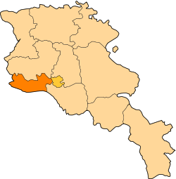
| Marz (Province) | Armavir Province |
| Population (2008) | |
| • Total | 1,630 |
| Time zone | (UTC+4) |
Artimet (Armenian: Արտիմետ; until recently, Atarbekyan and Atarbekian; originally, Ali-Begli and Alibeklu) is a village in the Armavir Province of Armenia. The church of the village named after Saint Gregory the Illuminator, dates back to 1876.
References
- Artimet at GEOnet Names Server
- World Gazeteer: Armenia – World-Gazetteer.com
- Report of the results of the 2001 Armenian Census, National Statistical Service of the Republic of Armenia
- Brady Kiesling, Rediscovering Armenia, p. 37; original archived at Archive.org, and current version online on Armeniapedia.org.