Aravis Range
| Aravis Range | |
|---|---|
|
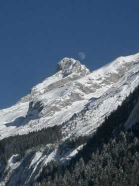
Pointe Percée | |
| Highest point | |
| Peak | Pointe Percée |
| Elevation | 2,752 m (9,029 ft) |
| Coordinates | 45°57′21″N 6°33′20″E / 45.95583°N 6.55556°ECoordinates: 45°57′21″N 6°33′20″E / 45.95583°N 6.55556°E |
| Naming | |
| Native name | French: Chaîne des Aravis |
| Geography | |
| Country | France |
| Department | Savoie, Haute-Savoie |
| Parent range | French Prealps |
| Borders on | Chablais and Graian Alps |
| Geology | |
| Type of rock | Sedimentary |
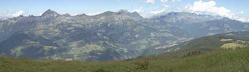
The Aravis (French: Chaîne des Aravis) is a mountain range in Savoie and Haute-Savoie, eastern France. It is part of the French Prealps, a lower chain of mountain ranges west of the main chain of the Alps. Its highest summit is the Pointe Percée, at 2752m. The orientation of the Aravis is north-south, and it stretches from Cluses in the north, to Ugine in the south. The Bornes massif, sometimes considered part of the Aravis, lies to its west. The Aravis is separated from the Chablais mountains in the north-east by the Arve river valley, and from the Graian Alps in the south-east by the Arly river valley.
References
| Wikimedia Commons has media related to Chaîne des Aravis. |