Ararat Province
| Ararat Արարատ | |
|---|---|
| Province | |
|
Ararat Province administration in Artashat | |
 Location of Ararat within Armenia | |
| Coordinates: 39°55′N 44°43′E / 39.917°N 44.717°ECoordinates: 39°55′N 44°43′E / 39.917°N 44.717°E | |
| Country | Armenia |
| Capital | Artashat |
| Government | |
| • Governor | Aramayis Grigoryan |
| Area | |
| • Total | 2,090 km2 (810 sq mi) |
| Area rank | 9th |
| Population (2011) | |
| • Total | 260,367 |
| • Rank | 3rd |
| • Density | 120/km2 (320/sq mi) |
| Time zone | UTC+04 |
| Postal code | 0601-0823 |
| ISO 3166 code | AM.AR |
| FIPS 10-4 | AM02 |
| Website | ararat.gov.am |
| Part of a series on |
| Armenia Հայաստան |
|---|
  |
| Culture |
| History |
| Demographics |
| Administrative divisions |
|
| Armenia portal |
Ararat (Armenian: Արարատ, Armenian pronunciation: [ɑɾɑˈɾɑt]) is a province (marz) of Armenia with capital in Artashat. Named after Mount Ararat, the province borders Turkey to the west and Azerbaijan's Nakhchivan Autonomous Republic to the south. It surrounds the Karki exclave of Nakhichevan which has been controlled by Armenia since its capture in May 1992 during the Nagorno-Karabakh War.
Two former Armenian capitals are located in this region (Artashat (Artaxata) and Dvin) as well as the Khor Virap monastery, significant as the place of Gregory the Illuminator's 13-year imprisonment and the closest point to Mount Ararat within Armenian borders.
Ararat borders the following provinces:
- Armavir – northwest
- Kotayk – north
- Gegharkunik – east
- Vayots Dzor – southeast
- Ararat also has a border with the city of Yerevan in the north, between its borders with Armavir and Kotayk.
In 1993 and again in 1995, CYMA (Canadian Youth Mission to Armenia) operated from Ararat province, building community centers, renovating schools, managing a children's day camp and distributing aid to families affected by the Nagorno-Karabakh War. CYMA co-founders Archbishop Hovnan Derderian and Ronald Alepian chose Ararat due to its well-organized youth movement.
Communities
The province of Ararat consists of the following 97 communities (hamaynkner), of which 4 are considered urban and 93 are considered rural.[1]
Towns or urban communities
| Image | City (town) | Province | Founded | Land area (km2) | Population (2011 est.) |
|---|---|---|---|---|---|
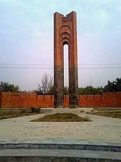 | Ararat | Ararat | 1920 | 6 | 20,900 |
 | Artashat | Ararat | 1962 | 12 | 25,600 |
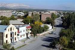 | Masis | Ararat | 1950 | 5.7 | 22,500 |
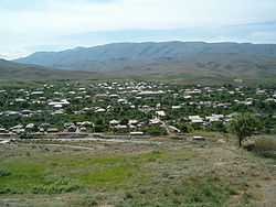 | Vedi | Ararat | ? | 5.6 | 13,700 |
Villages or rural communities
Non-community villages
- Kakavaberd, belongs to the Bardzrashen community.
- Ararat
-
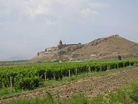
Khor Virap Monastery
-

Apricot farms in Artashat
-
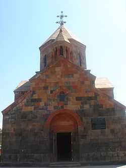
Arevshat church
-
Near the ancient city of Dvin
-
Ararat from Nor Kyurin village
References
- Report of the results of the 2001 Armenian Census, National Statistical Service of the Republic of Armenia
- ↑ "RA Ararat Marz" (PDF). Marzes of the Republic of Armenia in Figures, 2002–2006. National Statistical Service of the Republic of Armenia. 2007.
See also
| ||||||||||||


