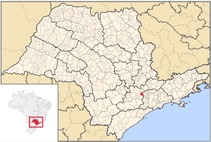
Araçariguama
Coordinates: 23°26′19″S 47°03′41″W / 23.43861°S 47.06139°W
| Coat of arms | |
|---|---|
 | |
| Statistics | |
| State: | São Paulo |
| Meso-region: | Paulista Macro-Metropolitan Meso-Region |
| Microrregions: | Sorocaba |
| Founded: | December 5, 1653 |
| Location: | 23.4375/23°26'19" S, 47.062/47°3'41" W |
| Area: | 109.06 km² |
| Population: | 13,324 (2004) Ranked 312nd |
| Population density: | 90.82/km² |
| Elevation: | 695 m |
| Postal code: | 18147-xxx |
| Area/distance code: | (00)55-11 |
| Website: | www.aracariguama.sp.gov.br |
| Population Statistics | |
| Urban: | 7,240 |
| Rural: | 3,914 |
| Other | |
| Literacy rate: | 89.99% |
| Distance from the state capital: | 45 km |
Araçariguama is a city in the state of São Paulo in Brazil. The population in 2003 is 13,324 and the area is 146.7 km². The origin of the name comes from the Tupi language The elevation is 695 m. The Região Metropolitana de São Paulo is bounded to the east.
Population history
| Year | Population | Change | Density |
|---|---|---|---|
| 2001 | 11,154 | - | 76.24/km² |
| 2004 | 13,324 | - | 139.41/km² |
Demographics
According to the 2000 IBGE Census, the population was 11,154, of which 7,240 are urban and 3,914 are rural. Its life expectancy for the city was 69.03 years. The literacy rate was at 89.99%.
External links
- (Portuguese) http://www.aracariguama.sp.gov.br
- (Portuguese) Araçariguama on citybrazil.com.br