Apsarasas Kangri
| Apsarasas Kangri | |
|---|---|
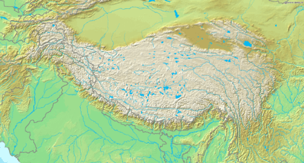 Apsarasas Kangri Location on a map of the Tibetan Plateau | |
| Elevation |
7,245 m (23,770 ft)[1] Ranked 96th |
| Prominence | 625 m (2,051 ft)[1][2] |
| Parent peak | Teram Kangri |
| Location | |
| Location | India–China border[1][3] |
| Range | Siachen Muztagh, Karakoram |
| Coordinates | 35°32′N 77°09′E / 35.533°N 77.150°ECoordinates: 35°32′N 77°09′E / 35.533°N 77.150°E[1] |
| Climbing | |
| First ascent | 1976 |
| Easiest route | snow/ice climb |
Apsarasas Kangri is a mountain in the Siachen Karakoram range. With an elevation of 7,245 m (23,770 ft) it is the 96th highest mountain in the world. Apsarasas Kangri is located on the border between Jammu and Kashmir, India and Xinjiang, China.
The peak was first climbed in 1976. In 1988, an Indian army team climbed the Apsaras I peak.[4] Apsaras II and Apsaras III are listed as "virgin peaks" by Indian Mountaineering Foundation.[3]
References
- ↑ 1.0 1.1 1.2 1.3 "Apsarasas, India/China". Peakbagger.com. Retrieved 2015-02-17.
- ↑ Note: Sources vary on the prominence of this peak. 8000ers.com states 607m and Global.mongabay states 635m. Both agree with the Peakbagger summit elevation of 7245m.
- ↑ 3.0 3.1 "Virgin Peaks in East Karakoram". The Indian Mountaineering Foundation (IMF). Retrieved 17 February 2015.
- ↑ Kapadia, Harish (1 March 2002). High Himalaya Unknown Valleys. Indus Publishing. p. 302. ISBN 978-81-7387-117-7.