Antilles

The Antilles (/ænˈtɪliːz/; Antilles [ɑ̃.tij] in French; Antillas in Spanish; Antillen in Dutch and Antilhas in Portuguese) are an archipelago bordered by the Caribbean Sea to the south and west, the Gulf of Mexico to the northwest, and the Atlantic Ocean to the north and east. The Antillean islands are divided into two smaller groupings: the Greater Antilles, which includes the larger islands of Cuba, Jamaica, Puerto Rico, Hispaniola (subdivided into Haiti and the Dominican Republic) and the Cayman Islands; and the Lesser Antilles, which contains the northerly Leeward Islands, the southeasterly Windward Islands, and the Leeward Antilles just north of Venezuela. The Lucayan Archipelago (consisting of the Bahamas and Turks and Caicos Islands), though part of the West Indies, are generally not included among the Antillean islands.[1]
Geographically, the Antillean islands are generally considered a subregion of North America. Culturally speaking, Cuba, the Dominican Republic, and Puerto Rico – and sometimes the whole of the Antilles – are included in Latin America, although some sources avoid this socioeconomic emphasized oversimplification by using the phrase "Latin America and the Caribbean" instead (see Latin America#Etymology and definitions, "In Contemporary Usage"). In terms of geology, the Greater Antilles are made up of continental rock, as distinct from the Lesser Antilles, which are mostly young volcanic or coral islands.
Background

The word Antilles originated in the period before the European conquest of the New World—Antilia being one of those mysterious lands which figured on the medieval charts, sometimes as an archipelago, sometimes as continuous land of greater or lesser extent, its location fluctuating in mid-ocean between the Canary Islands and India.
After the 1492 arrival of Christopher Columbus's expedition in what was later called the West Indies, the European powers realized that the dispersed lands constituted an extensive archipelago enclosing the Caribbean and the Gulf of Mexico. The Antilles were called multiple names before settling on their current name. Early Spanish visitors called them the Windward Islands. They were also called the Forward Islands by 18th century British.[2] Thereafter, the term Antilles was commonly assigned to the formation, and "Sea of the Antilles" became a common alternate name for the Caribbean Sea in various European languages.
Demographics
The Antilles were described in 1778 by Thomas Kitchin as once being called the Caribbee Isles as homage to the "first inhabitants, exterminated a long time since by the Chieftains of Europe; the unfortunate remains of whom, mixed with some Negroes, whose ancestors were freed by them and saved from shipwreck". Kitchin suggests that the "Negroes" eventually relocated to the island of Saint Vincent.[2]
Nations and territories
Lucayan Archipelago
Greater Antilles
Lesser Antilles
-
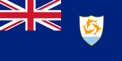 Anguilla (United Kingdom)
 -
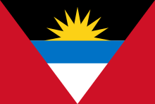 Antigua and Barbuda
-
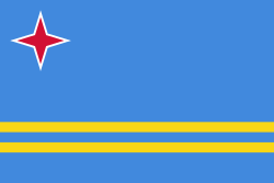 Aruba (Kingdom of the Netherlands)
 -
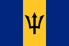 Barbados
 -
 Bonaire (Netherlands)
 -
 British Virgin Islands (United Kingdom)
 -
 Curaçao (Kingdom of the Netherlands)
 -
 Dominica
 -
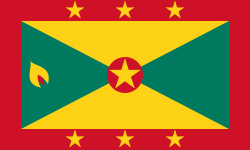 Grenada
 -
.svg.png) Guadeloupe (France)
Guadeloupe (France)
-
 Martinique (France)
 -
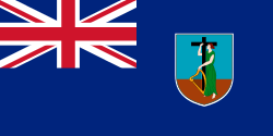 Montserrat (United Kingdom)
 -
 Saba (Netherlands)
 -
.svg.png) Saint Barthélemy (France)
Saint Barthélemy (France) -
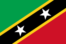 Saint Kitts and Nevis
-
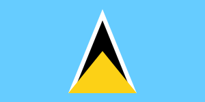 Saint Lucia
 - Saint Martin
-
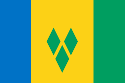 Saint Vincent and the Grenadines
 -
 Sint Eustatius (Netherlands)
 -
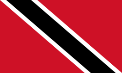 Trinidad and Tobago
-
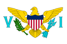 U.S. Virgin Islands (United States)
- Saint Croix
- Saint Thomas
- Saint John
-
 Federal Dependencies of Venezuela
- Los Roques Archipelago
- La Orchila
- La Tortuga
- La Blanquilla
- Margarita Island
- Coche
- Cubagua
- Other islands
See also
Footnotes
- ↑ Some sources, such as Encarta in Spanish, include the Bahamas in the Antilles. (Spanish). Archived 2009-10-31.
- ↑ 2.0 2.1 Kitchin, Thomas (1778). The Present State of the West-Indies: Containing an Accurate Description of What Parts Are Possessed by the Several Powers in Europe. London: R. Baldwin. p. 5.
References
 This article incorporates text from a publication now in the public domain: Chisholm, Hugh, ed. (1911). Encyclopædia Britannica (11th ed.). Cambridge University Press.
| ||||||||||||||||||||||||||||||||||||||||||||||||||||||||||||||||