Amsel, Algeria
| Amsel | |
|---|---|
| Village | |
 Amsel | |
| Coordinates: 22°37′32″N 5°27′18″E / 22.62556°N 5.45500°ECoordinates: 22°37′32″N 5°27′18″E / 22.62556°N 5.45500°E | |
| Country |
|
| Province | Tamanrasset Province |
| District | Tamanrasset District |
| Commune | Tamanrasset[1] |
| Elevation | 1,205 m (3,953 ft) |
| Time zone | CET (UTC+1) |
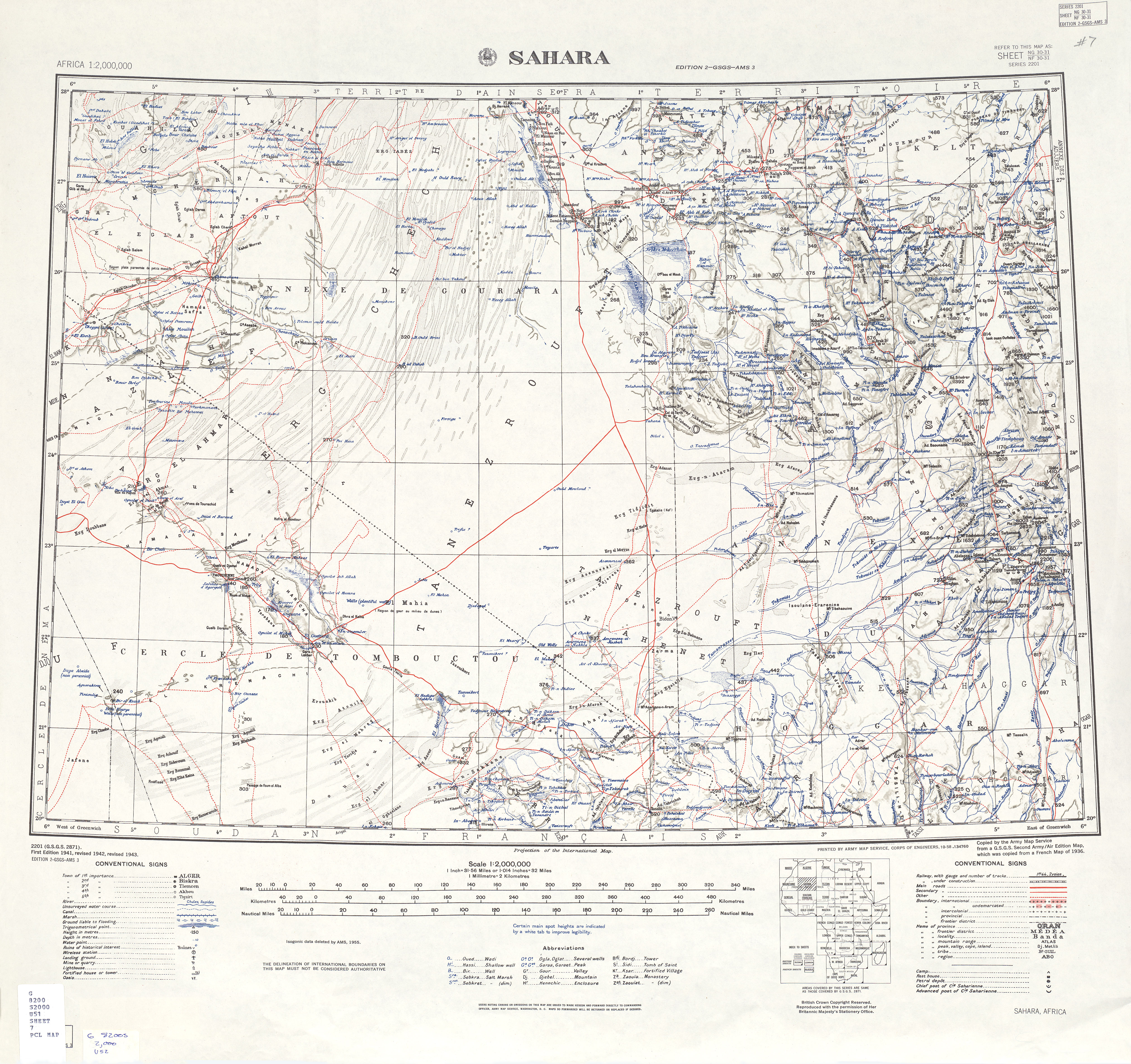
Amsel is a village in the commune of Tamanrasset,[1] in Tamanrasset District, Tamanrasset Province, Algeria. It lies on the east bank of Oued Irzerzou 19 kilometres (12 mi) south of Tamanrasset city.[2][3]
References
- ↑ 1.0 1.1 "Décret n° 84-365, fixant la composition, la consistance et les limites territoriale des communes. Wilaya d'El Oued" (in French). Journal officiel de la République Algérienne,. 19 December 1984. p. 1496. Archived from the original on 2 March 2013 or before. Retrieved 6 June 2013. Check date values in:
|archivedate=(help) - ↑ "Amsel, Algeria". Geonames.org. Retrieved 13 June 2013.
- ↑ "U.S. Army Map Service: Sahara". University of Texas Libraries. Retrieved 13 June 2013.
Neighbouring towns and cities
 |
In Amguel Outoul |
Tamanrasset | Tazrouk Izernène |
|
| Abalessa Tefert El Fougania |
|
Talan Teidit | ||
| ||||
| | ||||
| Tin Zaouatine | In Guezzam | Iferouane (Niger) |
| ||||||||||||||||||||||||||||||||||||||||||||||||||||||||||