Amiens, Queensland
| Amiens Queensland | |
|---|---|
|
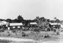
Amiens settlement, 1920 | |
 Amiens | |
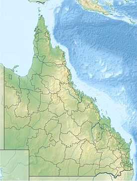
| Coordinates | 28°35′19″S 151°48′32″E / 28.5887°S 151.809°ECoordinates: 28°35′19″S 151°48′32″E / 28.5887°S 151.809°E |
| Population | 435 (2011 census)[1] |
Amiens is a rural locality in the Southern Downs Region, Queensland, Australia.[2] At the 2011 Australian Census Amiens recorded a population of 435.[1]
History
The name Amiens refers to the World War One battlefield in northern France, of special importance to the Australian Imperial Force in March–April 1918. The name was suggested by surveyor George Grant in 1920.[2]
Heritage listings
Amiens has a number of heritage-listed sites, including:
- 17 Trevethan Lane: St Denys Anglican Church[3]
References
- ↑ 1.0 1.1 Australian Bureau of Statistics (31 October 2012). "Amiens (State Suburb)". 2011 Census QuickStats. Retrieved 14 July 2013.
- ↑ 2.0 2.1 "Amiens (entry Number)". Queensland Place Names. Queensland Government. Retrieved 15 March 2014.
- ↑ "St Denys Anglican Church (entry 19653)". Queensland Heritage Register. Queensland Heritage Council. Retrieved 2013-07-13.
External links
- "Amiens, Thulimbah, Applethorpe District". Queensland Places. Centre for the Government of Queensland, University of Queensland.
