Ametista do Sul
| Ametista do Sul | |
|---|---|
| Municipality | |
| Nickname(s): O município que Brilha | |
 | |
| Coordinates: 27°21′39″S 53°10′55″W / 27.36083°S 53.18194°WCoordinates: 27°21′39″S 53°10′55″W / 27.36083°S 53.18194°W | |
| Country | Brazil |
| State | Rio Grande do Sul |
| Mesoregion | Noroeste Rio-grandense |
| Microregion | Frederico Westphalen |
| Founded | March 20, 1992 |
| Government | |
| • Mayor | Dorval Americo Bassi (PMDB) |
| Area | |
| • Total | 93.490 km2 (36.097 sq mi) |
| Elevation | 505 m (1,657 ft) |
| Population est. IBGE/2008 [1] | |
| • Total | 8,440 |
| • Density | 90/km2 (230/sq mi) |
| Time zone | -3 |
| HDI | 0.754 |
| GDP | R$ 41,493,000 |
| GDP per capita | R$ 5,161.00 |
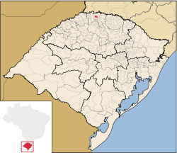
Ametista do Sul is a municipality in the state Rio Grande do Sul, Brazil. It borders Planalto, Frederico Westphalen, Cristal do Sul, Rodeio Bonito and Iraí.
References
- ↑ "Estimativas da população para 1º de julho de 2008" (PDF). Instituto Brasileiro de Geografia e Estatística (IBGE). 29 August 2008. Archived from the original on 8 September 2008. Retrieved 5 September 2008.
