Albaret-le-Comtal
| Albaret-le-Comtal | ||
|---|---|---|
| ||
 Albaret-le-Comtal | ||
|
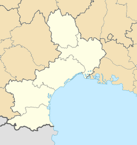
Location within Languedoc-Roussillon region  Albaret-le-Comtal | ||
| Coordinates: 44°52′33″N 3°07′41″E / 44.8758°N 3.1281°ECoordinates: 44°52′33″N 3°07′41″E / 44.8758°N 3.1281°E | ||
| Country | France | |
| Region | Languedoc-Roussillon | |
| Department | Lozère | |
| Arrondissement | Mende | |
| Canton | Fournels | |
| Intercommunality | Hautes Terres | |
| Government | ||
| • Mayor (2008–2014) | Clément Donnadieu | |
| Area1 | 29.56 km2 (11.41 sq mi) | |
| Population (2009)2 | 2,001 | |
| • Density | 68/km2 (180/sq mi) | |
| INSEE/Postal code | 48001 / 48310 | |
| Elevation |
740–1,161 m (2,428–3,809 ft) (avg. 1,000 m or 3,300 ft) | |
|
1 French Land Register data, which excludes lakes, ponds, glaciers > 1 km² (0.386 sq mi or 247 acres) and river estuaries. 2 Population without double counting: residents of multiple communes (e.g., students and military personnel) only counted once. | ||
Albaret-le-Comtal is a commune in the Lozère department in southern France.
Population
| Historical population | ||
|---|---|---|
| Year | Pop. | ±% |
| 1793 | 817 | — |
| 1800 | 560 | −31.5% |
| 1806 | 765 | +36.6% |
| 1821 | 828 | +8.2% |
| 1831 | 609 | −26.4% |
| 1836 | 795 | +30.5% |
| 1841 | 697 | −12.3% |
| 1846 | 754 | +8.2% |
| 1851 | 792 | +5.0% |
| 1856 | 719 | −9.2% |
| 1861 | 637 | −11.4% |
| 1866 | 695 | +9.1% |
| 1872 | 637 | −8.3% |
| 1876 | 661 | +3.8% |
| 1881 | 662 | +0.2% |
| 1886 | 644 | −2.7% |
| 1891 | 547 | −15.1% |
| 1896 | 543 | −0.7% |
| 1901 | 585 | +7.7% |
| 1906 | 576 | −1.5% |
| 1911 | 599 | +4.0% |
| 1921 | 519 | −13.4% |
| 1926 | 510 | −1.7% |
| 1931 | 503 | −1.4% |
| 1936 | 513 | +2.0% |
| 1946 | 459 | −10.5% |
| 1954 | 351 | −23.5% |
| 1962 | 349 | −0.6% |
| 1968 | 303 | −13.2% |
| 1975 | 273 | −9.9% |
| 1982 | 248 | −9.2% |
| 1990 | 227 | −8.5% |
| 1999 | 198 | −12.8% |
| 2006 | 195 | −1.5% |
| 2009 | 201 | +3.1% |
Economy
The village lies at the foot of a hydroelectric plant. The plant was built between 1916 and 1919 to supply energy to the hydrometallurgic factory at nearby Saint-Chély-du-Tarn.[1]
See also
References
- ↑ Martinez, Alain; Tristan Cuche; Jean-Paul Labourdette; Dominique Auzias (2008). Le Petit Futé Lozère (in French). Petit Futé. p. 99. ISBN 2-7469-2174-X. Retrieved 6 February 2010.
External links
| Wikimedia Commons has media related to Albaret-le-Comtal. |
