Aladağ, Tarsus
| Aladağ | |
|---|---|
| Village | |
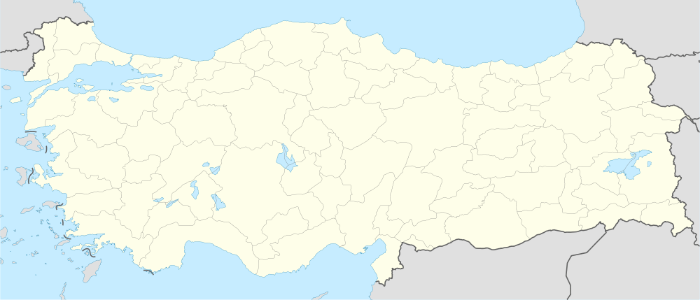
 Aladağ Location in Turkey | |
| Coordinates: 37°05′N 34°58′E / 37.083°N 34.967°ECoordinates: 37°05′N 34°58′E / 37.083°N 34.967°E | |
| Country |
|
| Province | Mersin Province |
| District | Tarsus |
| Elevation | 235 m (770 ft) |
| Population (2011) | |
| • Total | 263 |
| Time zone | EET (UTC+2) |
| • Summer (DST) | EEST (UTC+3) |
| Postal code | 33400 |
| Area code(s) | 0324 |
| Licence plate | 33 |
Aladağ is a village in Tarsus district of Mersin Province, Turkey. At 36°05′N 34°58′E / 36.083°N 34.967°E it is situated in Çukurova (Cilicia of the antiquity) plains to the east of Turkish state highway D.750. The distance to Tarsus is 20 kilometres (12 mi) and the distance to Mersin is 48 kilometres (30 mi). The population of Aladağ is 263 [1] as of 2011.