al-Karmil
| al-Karmil | |
|---|---|
| Other transcription(s) | |
| • Arabic | خربة الكرمل |
| • Also spelled | Khirbat al-Karmil (official) |
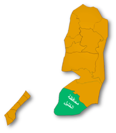
 al-Karmil Location of al-Karmil within Palestine | |
| Coordinates: 31°25′25.19″N 35°07′59.37″E / 31.4236639°N 35.1331583°ECoordinates: 31°25′25.19″N 35°07′59.37″E / 31.4236639°N 35.1331583°E | |
| Governorate | Hebron |
| Government | |
| • Type | Village council |
| Population (2007) | |
| • Jurisdiction | 3,741 |
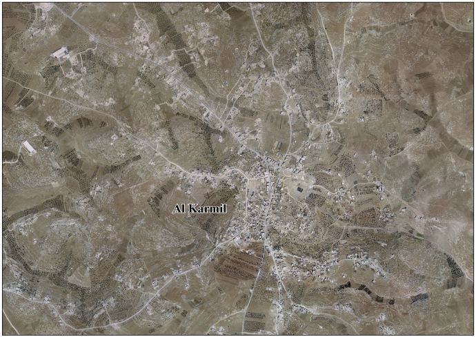
al-Karmil (Arabic: خربة الكرمل) is a Palestinian village located twelve kilometers south of Hebron. The village is in the Hebron Governorate Southern West Bank. According to the Palestinian Central Bureau of Statistics, the village had a population of 3,741 in 2007.[1] The primary health care facilities for the village are designated by the Ministry of Health as level 2.[2]
History
There are three references to al-Karmil in the Bible. "Carmel" is mentioned as a city of Judah, also as the place where Saul erects a monument after the expedition against the Amalek and where Nabal the Carmelite resides.[3][4][5][6]
With a lack of market for their wine, the Jewish settlement declined with the synagogue finally being abandoned in the 9th Century. The abandoned synagogue is one of the best preserved ancient synagogues in the West Bank.[7]
Al-Muqaddasi describes it 985 as "a village in the further limits of the Hebron territory, in Jund Filastin. This is the Carmel mentioned in Joshua xv.55."[8]
It was mentioned in Crusader sources in 1172.[9][10]
Ottoman era
In 1863, Victor Guérin visited.[11]
In October 1874, the Palestine Exploration Fund's Survey of Western Palestine (SWP) found here extensive ruins, and a reservoir filled with water. Remains of a castle, possibly of Crusader origin, and a church were also found.[12]
The SWP also traced an ancient road from Jerusalem to Al-Karmil.[13]
Footnotes
- ↑ 2007 PCBS Census Palestinian Central Bureau of Statistics. p.120.
- ↑ West Bank Health care
- ↑ Joshua ch xv verse 55, 1 Samuel ch xv verse 12 and 1 Samuel ch xxv
- ↑ Nabal and Abigail
- ↑ Calmet's Dictionary of the Holy Bible, 1832. p 280
- ↑ Conder and Kitchener, 1883, SWP III, p. 312
- ↑ Murphy-O'Connor, Jerome (2008) The Holy Land: An Oxford Archaeological Guide from Earliest Times to 1700 Oxford University Press US, ISBN 0-19-923666-6 p 351
- ↑ le Stange, 1890, pp. 487-8
- ↑ Guérin, 1869, p. 170
- ↑ Conder and Kitchener, 1883, SWP III, p. 372
- ↑ Guérin, 1869, pp. 166-170
- ↑ Conder and Kitchener, 1883, SWP III, pp. 372-4
- ↑ Conder and Kitchener, 1883, SWP III, p. 317
Bibliography
- Conder, Claude Reignier; Kitchener, H. H. (1883). The Survey of Western Palestine: Memoirs of the Topography, Orography, Hydrography, and Archaeology 3. London: Committee of the Palestine Exploration Fund.
- Guérin, Victor (1869). Description Géographique Historique et Archéologique de la Palestine (in French). 1: Judee, pt. 3. Paris: L'Imprimerie Nationale.
- Palmer, E. H. (1881). The Survey of Western Palestine: Arabic and English Name Lists Collected During the Survey by Lieutenants Conder and Kitchener, R. E. Transliterated and Explained by E.H. Palmer. Committee of the Palestine Exploration Fund. (p. 403)
- Strange, le, Guy (1890). Palestine Under the Moslems: A Description of Syria and the Holy Land from A.D. 650 to 1500. Committee of the Palestine Exploration Fund.
External links
- Welcome To Khirbat al-Karmil
- Al Karmil Village (Fact Sheet)
- Al Karmil Village Profile
- Al Karmil Village Areal Photo
- The priorities and needs for development in Al Karmil village based on the community and local authorities’ assessment
- Survey of Western Palestine, Map 21: IAA, Wikimedia commons
| ||||||||||||||||||||