Aix-en-Diois
| Aix-en-Diois | |
|---|---|
 Aix-en-Diois | |
|
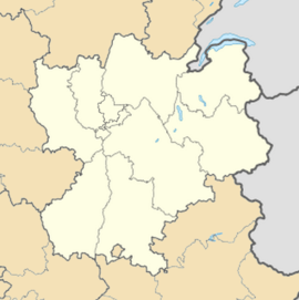
Location within Rhône-Alpes region  Aix-en-Diois | |
| Coordinates: 44°42′38″N 5°24′07″E / 44.7106°N 5.4019°ECoordinates: 44°42′38″N 5°24′07″E / 44.7106°N 5.4019°E | |
| Country | France |
| Region | Rhône-Alpes |
| Department | Drôme |
| Arrondissement | Die |
| Canton | Die |
| Intercommunality | Diois |
| Government | |
| • Mayor (2008–2014) | Angelo Vivenzio |
| Area1 | 16.49 km2 (6.37 sq mi) |
| Population (2008)2 | 351 |
| • Density | 21/km2 (55/sq mi) |
| INSEE/Postal code | 26001 / 26150 |
| Elevation |
433–1,259 m (1,421–4,131 ft) (avg. 444 m or 1,457 ft) |
|
1 French Land Register data, which excludes lakes, ponds, glaciers > 1 km² (0.386 sq mi or 247 acres) and river estuaries. 2 Population without double counting: residents of multiple communes (e.g., students and military personnel) only counted once. | |
Aix-en-Diois is a commune in the Drôme department in southeastern France.
History
Aix-en-Diois belonged to the counts and later to the bishops of Die (twelfth century). Later, it belonged to the Princes of Orange, and finally to the La Tour du Pin family (seventeenth century). The commune contains the remains of Roman baths and the ruins of a 13th-century medieval castle with a polygonal enclosure and corner towers, rebuilt in the 16th century.[1] The castle hall dates from the 17th century and is the former summer residence of the Bishop of Die. The main church is the Church of the Immaculate Conception.
Population
| Historical population | ||
|---|---|---|
| Year | Pop. | ±% |
| 1911 | 302 | — |
| 1962 | 213 | −29.5% |
| 1968 | 200 | −6.1% |
| 1975 | 175 | −12.5% |
| 1982 | 196 | +12.0% |
| 1990 | 209 | +6.6% |
| 1999 | 255 | +22.0% |
| 2008 | 351 | +37.6% |
See also
References
- ↑ Michèle Bois et Chrystèle Burgard, Fortifications et châteaux dans la Drôme, éditions Créaphis, 192 p, 2004
External links
| Wikimedia Commons has media related to Aix-en-Diois. |