Ah-gwah-ching, Minnesota
For the former sanatorium and health care facility known as Ah-Gwah-Ching Center, see Minnesota State Sanatorium for Consumptives.
| Ah-gwah-ching, Minnesota | |
|---|---|
| Unincorporated community | |
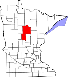
 Ah-gwah-ching, Minnesota Location of Ah-gwah-ching within Cass County | |
| Coordinates: 47°04′27″N 94°33′46″W / 47.07417°N 94.56278°WCoordinates: 47°04′27″N 94°33′46″W / 47.07417°N 94.56278°W | |
| Country | United States |
| State | Minnesota |
| County | Cass |
| Township | Shingobee Township |
| Elevation | 1,335 ft (407 m) |
| Time zone | Central (CST) (UTC-6) |
| • Summer (DST) | CDT (UTC-5) |
| ZIP code | 56430 |
| Area code(s) | 218 |
| GNIS feature ID | 659097[1] |
Ah-gwah-ching is an unincorporated community in Shingobee Township, Cass County, Minnesota, United States, near Walker.
It is located along State Highways 200 (MN 200) and 371 (MN 371), two miles south–southeast of Walker. Ah-gwah-ching has the ZIP code 56430.[2]
The name Ah-gwah-ching means "out-of-doors" in the Ojibwe language.